Muli to Yading, Sichuan · 8 days · Challenging (4/5) · max ~4,750 m · $181/day · $1,450 total per person
Walk the trail that named Shangri-La.
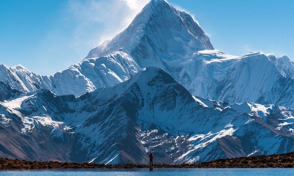
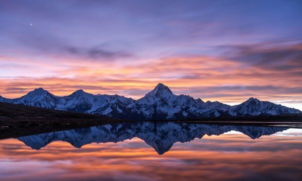
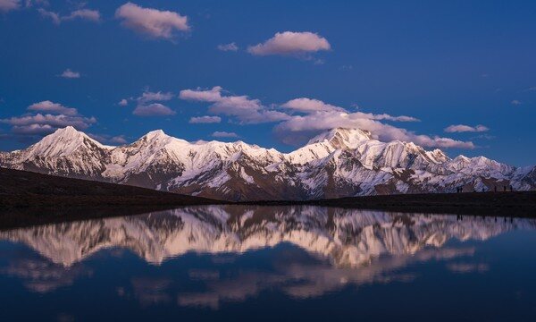
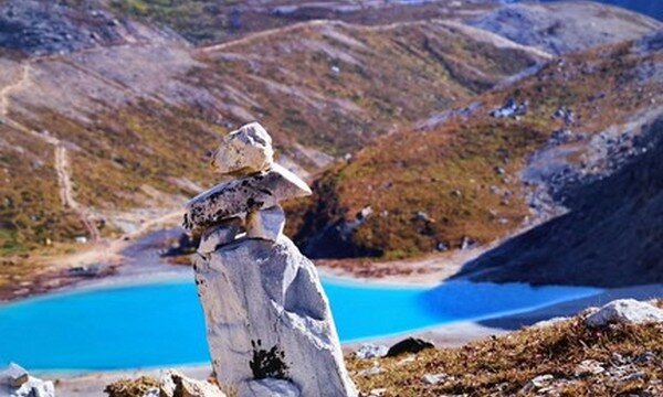
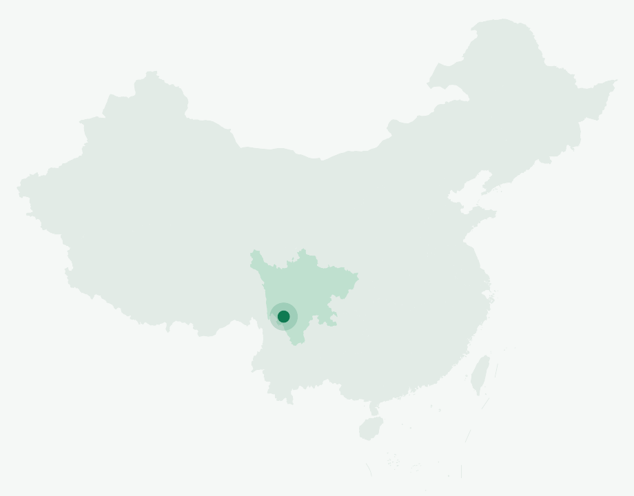
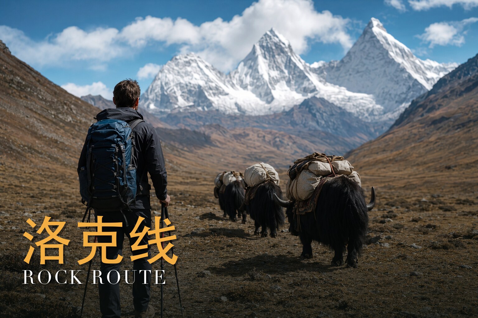
In 1928, the Austrian-American explorer Joseph Rock crossed the wild peaks of western Sichuan and sent his photographs and dispatches home to National Geographic. They so captivated the world that, five years later, James Hilton wove them into his novel Lost Horizon and gave the planet a new word for paradise: Shangri-La. The route Rock walked from Muli to the Konkaling massif has carried his name ever since, and to this day it remains almost entirely undeveloped. There are no cable cars and no boardwalk shortcuts on the high traverse, only the ancient Tea-Horse Road and the three sacred mountains that Tibetans have circled in pilgrimage for centuries.\n\nThis is the heart of Yading (Yàdīng), the "soul of Shangri-La," guarded by the Three Holy Peaks collectively known as Nyenqen Konka Risumgonbo, the snow-clad sanctuary of the three protector deities. They rise in a vast triangle: Chenresig (Xiānnǎirì, 6,032 m), the throne-shaped peak named for the Bodhisattva of Compassion and the highest of the three; Chanadorje (Xiànuòduōjí), a pyramid whose ridges spread like the wings of a great bat; and Jambeyang (Yāngmàiyǒng), the flawless peak that Rock himself called the most beautiful mountain he had ever seen. On this trek you glimpse Jambeyang from at least three different angles, a satisfaction only mountain lovers will fully understand.\n\nThe journey begins far from any crowd. From Chengdu you drive south to Xichang and into Muli, the Tibetan autonomous county where Rock's expedition truly began, then push on to remote Shuiluo and tiny Jialuo Village, the last outpost before the mountains. From there you walk: up the Baishui River past waterfalls and through old-growth forest, across high summer pastures where yak herders graze beneath Chanadorje, and over a string of demanding passes, Zhabala La at 4,750 m, the Black Lake pass at 4,700 m, and finally Songduo La at 4,650 m, which opens straight onto the Yading sanctuary.\n\nThe water on this route is unforgettable. You pass the ink-dark Black Lake (Hēihú), the turquoise jewel of Milk Lake (Niúnǎi Hǎi), born of Jambeyang's glacier and shaped like a single teardrop, and the circular, shimmering Five-Color Lake (Wǔsè Hǎi), the holy lake said to hold the power to reveal the past and foretell the future. Over eight days you cover roughly 64 kilometers on foot, climbing as high as 4,750 m, before descending the sanctuary's wooden walkways to Luorong Pasture and out to the town of Daocheng. Pack animals carry the heavy gear; you carry only what you need to keep walking, eyes up, through one of the last truly wild corners of the Tibetan world.
Joseph Rock Route runs 8 days.
It's rated Challenging (4/5), topping out around ~4,750 m. Reasonable hiking fitness and time to acclimatize to altitude are recommended.
The high point is around ~4,750 m. Acclimatize gradually and take altitude-sickness precautions — consult your doctor before any high-altitude trek.
The best seasons are Late spring to autumn (best in autumn, when the forests turn gold and crimson).
English-speaking guide on request · or local guide + Inglite app for English support It's run by an independent, licensed local mountain operator, with Inglite supporting you in English the whole way.
Approximately $1450 per person ($181/day · $1,450 total). You arrange payment directly with the licensed local operator — Inglite never collects payment.
This trek is run by an experienced, licensed local mountain operator who has guided the remote Joseph Rock traverse for years, with certified professional guides, pack-horse support and full camp equipment. English-language support is provided throughout via the Inglite app and your guide, so you can focus entirely on the mountains.
Run by an independent, licensed local operator. You arrange payment with the operator directly — Inglite connects you and never collects payment. Outdoor travel carries inherent risks; travel insurance with high-altitude and evacuation cover is required. Booking & refunds · Terms
— or send a request below —
✅ Request received! Reference
We reply within 24h. Fastest: message us on WhatsApp and mention your reference.
Chat on WhatsAppI've walked this corridor more than once, and I'm also the licensed local lead who guides it — so let me speak plainly. For eight days you climb out of the old lama kingdom of Muli, cross the Shuiluo canyon, and rise step by step toward three snow peaks that the people here do not call scenery. They call them deities. By the time you stand on a 4,750 m pass with the larches burning gold below you, you understand why a man came all this way in 1928 to photograph them. This is a challenging trek — I'd put it at four out of five — and the altitude is real, not romantic. But it is also one of the most beautiful and meaningful walks in China. Come in autumn if you can, when the forests turn crimson against the white peaks. That's when the corridor gives you everything it has.
You're traversing the heart of the Hengduan Mountains, where Sichuan's high plateau breaks apart into deep parallel gorges before it spills toward Yunnan. This is one of the planet's richest biodiversity zones, a tangle of ranges carved by ancient ice — the region even lent its name to the "Daocheng Glaciation," recognized as the earliest identifiable Quaternary glaciation in the Hengduan, its deeply weathered moraines lying around 3,800 m. You can still read that glacial past in the landscape: the cirques, the moraine ridges, and the cold lakes that sit in old ice-scooped hollows above 4,300 m, like Milk Lake and Five-Color Lake.
The walk is a steady, serious climb. Muli town sits near 2,000 m. From there you gain height through the Shuiluo valley to camps at 3,700 m, 4,250 m, 4,200 m, and 4,500 m, crossing passes in the 4,650–4,750 m band before the long descent to Daocheng town at about 3,750 m. At the far end stand the three holy peaks of Yading, within Daocheng County in the Garzê Tibetan Autonomous Prefecture of southwest Sichuan — a reserve raised to national level in 2001 and admitted, on 10 July 2003, into UNESCO's World Network of Biosphere Reserves.
Muli was, until 1950, a half-independent Tibetan Buddhist kingdom — a hereditary lama-king ruling a Gelugpa theocracy that had taken root here after 1640. It lies within today's Liangshan prefecture, on the Yunnan border, its land cut by three north–south river gorges: the Shuiluo, the Litang, and the Yalong, the last of which feeds the Yangtze.
In 1928 the Austrian-American botanist-explorer Joseph Rock (1884–1962) — who had based himself for years in Naxi country near Lijiang — set out from a Muli monastery and crossed the Shuiluo gorge into the Konkaling country. It was then a no-go land, ruled by Tibetan outlaws under a former-monk chieftain, and Rock could only enter under the protection of Muli's lama-king, who lent him a safe-conduct and guides; in return Rock gave a twenty-dollar gold piece and a copy of National Geographic bearing the king's portrait. He reached the three peaks and photographed them. In a July 1931 National Geographic article, "Konka Risumgongba, Holy Mountain of the Outlaws," he claimed to be the first foreigner to stand among them — and I tell travelers to keep that as *his claim*, not settled fact. His vivid dispatches from this borderland are widely said to have helped inspire the "Shangri-La" of James Hilton's *Lost Horizon*. That, too, is a lovely piece of legend, and I tell it as legend, not gospel.
And one honest note about the romance: we follow the corridor and the spirit of Rock's 1928 journey. We do not retrace a surveyed, footstep-for-footstep replica — no one should claim "exact footsteps."
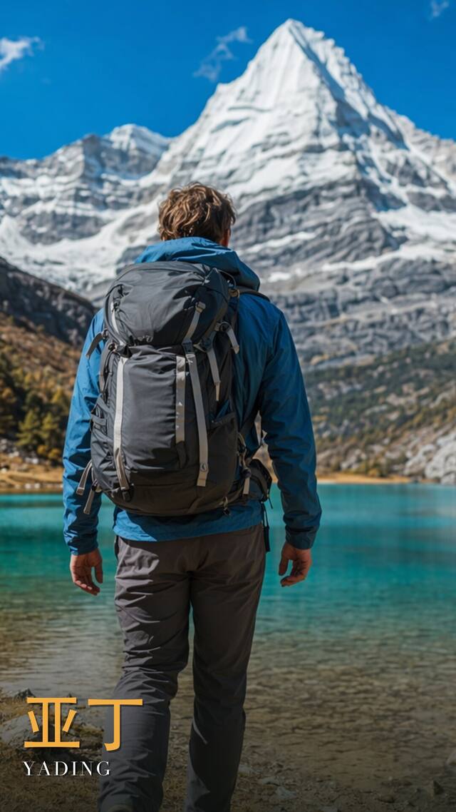
The three peaks are known together as Konkaling, or Konka Risumgongba, and they stand in a triangular formation. Each has a name that matters here. Chenresig rises to the north, 6,032 m, the highest — the Bodhisattva of Compassion. Jambeyang stands to the south, 5,958 m — the Bodhisattva of Wisdom. Chanadorje rises to the east, 5,958 m — the Bodhisattva of Power. They are said to have been consecrated by the Fifth Dalai Lama, and for centuries pilgrims have walked the *kora* clockwise around them, a circuit of devotion rather than recreation. The small monastery of Chonggu still sits among them.
I ask the people I guide to walk respectfully. When you pass a pilgrim, you keep to the clockwise direction with them. When you reach a pass strung with prayer flags, you understand you've arrived at someone's sacred ground, not a viewpoint. These mountains are living deities to the Tibetan families whose pastures you cross. Treat them as such, and the whole walk changes.
What stays with me about this trek is the slow transformation underfoot — from the warm valley world of Muli, up through forest, out onto high yak pastures, and finally into the bare, luminous country of the passes. You earn the peaks. Here is how the eight days unfold.
We gather in Chengdu, sort gear, talk through the days ahead, and let everyone catch their breath before the long road west. Nothing strenuous — this is where the team becomes a team.
A long travel day southwest through Xichang and up into Muli County, the old lama kingdom, where the trek truly begins at around 2,000 m. You feel the world get higher and quieter.
We descend toward the Shuiluo and climb to Jialuo Village at 2,700 m — the last village rhythm before the wilderness. This is the threshold Rock crossed.
A genuine climbing day up beside the Baishui River to our first high camp at 3,700 m. The forest thickens and the air begins to thin; this is where acclimatizing starts in earnest.
We climb through Zangbie pasture to camp at Wanhuachi at 4,250 m. The trees fall away and the open high country opens up — yak pasture, wind, and the first big skies.
The high point of the whole route: Zhabala Pass at about 4,750 m. It's a hard, slow grind to the top and a moment that earns its prayer flags, then a descent to camp at Xinguo pasture, 4,200 m.
Over Black Lake Pass at around 4,700 m and down to camp beside Black Lake at 4,500 m — one of those cold, still glacial-cirque lakes, the kind of place you remember for years.
The last pass, Songduo at about 4,650 m, drops you into the Yading reserve and the company of the three holy peaks themselves. From there the long descent leads out to Daocheng town at 3,750 m — and the walk is done.
How fit do I need to be? Fit enough for consecutive long days at altitude with a pack, on rough ground, including a couple of big pass-climbs near 4,700 m. If you train with back-to-back hill days beforehand, you'll enjoy it far more than you'll endure it.
What's the altitude profile, really? You start near 2,000 m in Muli and build through camps at 3,700, 4,250, 4,200, and 4,500 m, crossing three high passes between roughly 4,650 and 4,750 m, before descending to Daocheng at about 3,750 m. The structure is deliberately a slow climb, which is your best defense against altitude sickness.
What are the nights like? Camping, mostly on high yak pastures and beside cold mountain lakes. Expect genuinely cold nights once you're above 4,000 m, even in autumn — a proper sleeping system and warm layers are not optional.
Will I see the famous lakes? The route brings you into the Yading massif and the company of the three peaks on the final day. Glacial-cirque lakes like Milk Lake and Five-Color Lake sit above 4,300 m in this landscape, set in hollows scooped by ancient ice.
Is this really "in Joseph Rock's footsteps"? We follow the same corridor and the spirit of his 1928 journey across the Shuiluo gorge into the Konkaling country — but I won't pretend it's a surveyed, step-for-step replica of his exact path. The history is real; the precise footsteps are not something anyone can honestly claim.
Do I need to worry about etiquette around the mountains? Yes, and gladly. These are sacred peaks to local Tibetan Buddhists, consecrated — by tradition — by the Fifth Dalai Lama. Walk the *kora* clockwise, give pilgrims their space, and treat passes and prayer flags as the holy ground they are.