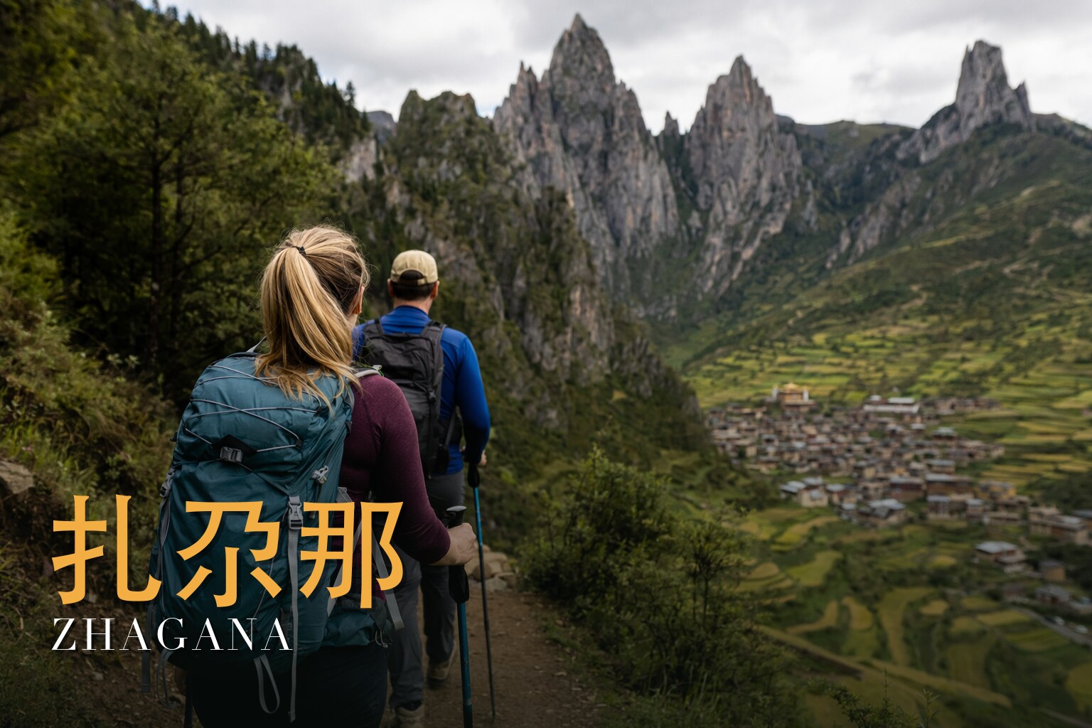
Zhagana, Diebu, Gansu · 7 days / 6 nights · Challenging (4/5) · max ~4,140 m (Kalake Pass) · $154/day · $1,080 total per person
Walk Joseph Rock's lost route through the Stone Box.
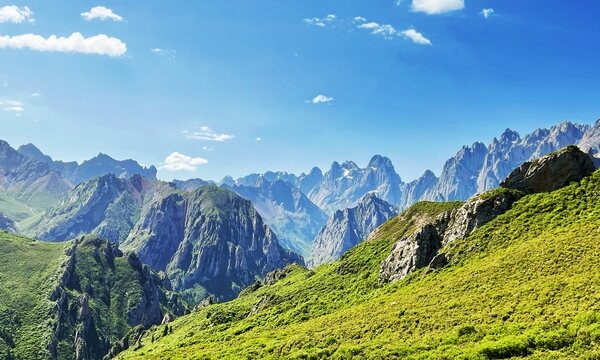
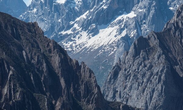
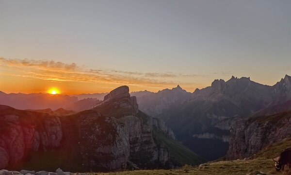
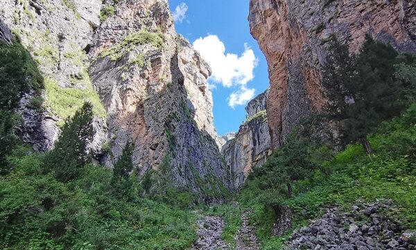
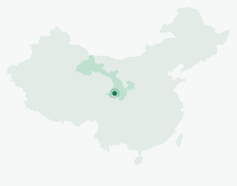
Hidden in the folded highlands of Gansu's Gannan Tibetan Autonomous Prefecture, Zhagana — "Stone Box" in Tibetan — is a natural citadel of vertical limestone, hanging cliffs and secret valleys ringed by jagged peaks. At an average elevation of 3,600 metres, it is one of those rare places where people and wilderness still live in balance, the rhythms of herding, farming and hunting woven into the land. The American explorer Joseph Rock, who passed through nearly a century ago, called it the birthplace of Adam and Eve and named it one of the world's fifty finest trekking destinations. This seven-day journey sets out from Lanzhou and traces his old Tao-Die caravan road across Zhagana to the Dayu Gorge of Zhuoni County — roughly 55 to 60 kilometres on foot, over fifteen passes, five of them above 4,000 metres.\n\nThe walking begins in earnest in the village of Dongwa, climbing north up the Rongnao River valley into a deep gorge where a broad herders' track threads between sheer rock walls. You cross the Zhagana stone forest and a string of high cols — Guanggai, Jiaobu Ke and others — before dropping to your first wild camp at Dongcai (3,640 m). The following day delivers the trip's high point, the 4,140-metre Kalake Pass, reached up steep scree and rewarded with the otherworldly red sandstone of the Danxia badlands. From here the route eases downhill through meadows and forest, past the boulder locals call "Stool Stone" and the twin Naizi peaks, to the pastures of Anziku — a scattering of herders' homes amid soaring ridges and open grassland that conjures Shangri-La. A final climb over Guanyin Stone Pass (3,620 m) leads down through dense forest and streams to the road's end at Sanjiao Stone, where vehicles carry you on to Minxian and, the next day, back to Lanzhou.\n\nThroughout, the trek pairs genuine challenge with deep comfort and culture: nights split between tents under the stars and the warm guesthouses of Dongwa village, yaks carrying the heavy gear, and a professionally certified outdoor leader setting the pace. It is a route for those who want the wild heart of Tibetan Gansu — snow peaks, alpine meadow, stone forest and crimson Danxia cliffs — strung together in a single unforgettable line.
Zhagana Valley runs 7 days / 6 nights.
It's rated Challenging (4/5), topping out around ~4,140 m (Kalake Pass). Reasonable hiking fitness and time to acclimatize to altitude are recommended.
The high point is around ~4,140 m (Kalake Pass). Acclimatize gradually and take altitude-sickness precautions — consult your doctor before any high-altitude trek.
The best seasons are Late spring through early autumn (May–September), when the high passes are clear of snow and the alpine meadows are green..
English-speaking guide on request · or local guide + Inglite app for English support It's run by an independent, licensed local mountain operator, with Inglite supporting you in English the whole way.
Approximately $1080 per person ($154/day · $1,080 total). You arrange payment directly with the licensed local operator — Inglite never collects payment.
This trek is operated by an experienced, fully licensed local mountain outfitter with a professionally certified outdoor leader on every departure. English-language support is provided throughout via the Inglite app and your guide, so non-Chinese-speaking trekkers are looked after from arrival in Lanzhou to the final descent.
Run by an independent, licensed local operator. You arrange payment with the operator directly — Inglite connects you and never collects payment. Outdoor travel carries inherent risks; travel insurance with high-altitude and evacuation cover is required. Booking & refunds · Terms
— or send a request below —
✅ Request received! Reference
We reply within 24h. Fastest: message us on WhatsApp and mention your reference.
Chat on WhatsAppAt the mouth of Zhagana at first light, the mist drains out of the valley and the limestone spires catch fire one by one — it is the kind of place that never quite lets you go. This is seven days of walking — six nights under canvas — through a corner of southern Gansu that most maps forget: a Tibetan world of barley terraces, yak pastures and grey-white pinnacles that lean like the ruins of a cathedral. It is a challenging trek, four out of five, topping out near 4,140 metres on Kalake Pass, so it asks for fit legs and a patient pair of lungs. Come between late spring and early autumn, May to September, when the snow has left the passes and the meadows have gone green. That is when this old caravan road is at its kindest — and its most beautiful.
Zhagana means "Stone Box" in Tibetan, and the name is the most honest description anyone has given it. A cluster of timber Tibetan hamlets — Dongwa, Yeri, Dari and Daiba among them — sits cupped inside a natural fortress of pale, grey-white limestone walls, the valley floor itself riding above roughly 3,000 metres. People reach for "the Dolomites of China," and the silhouette earns the comparison, but the geology is its own story. These are folded limestone spires at the southern foot of the Die Shan range, on the far eastern lip of the Tibetan Plateau, where the White Dragon River — the Bailong — saws the land into the Die Shan to the north, rising between roughly 3,600 and 4,488 metres, and the Min Shan to the south.
One distinction is worth making for travellers, because it matters: this is karstic limestone, grey and dissolved into towers, not the red "Rainbow Mountain" Danxia sandstone that Gansu is also famous for further north. Different rock, different colour, different ancestry entirely.
The climate here is a temperate continental monsoon one — cool, with a mean somewhere around 8 to 11°C and rainfall of roughly 635 millimetres a year, most of it falling in the very months you would want to walk. Forest closes around the lower valleys, part of the broad eastern-Gansu range where giant pandas still survive — though nobody can promise a traveller a sighting, and you should not come expecting one.
A century ago, the explorer-botanist Joseph Rock (1884–1962) — Vienna-born, later an American citizen — made his base just over the Die Shan in the little Tibetan principality of Choni. He arrived in May 1925, lived there as a guest of the local ruler for nearly two years, and roamed this "Land of the Tebbus," the hidden green world he found folded inside otherwise barren mountains, before leaving in early 1927. He wrote it up later as "The Land of the Tebbus," published in 1933 in the Royal Geographical Society's *Geographical Journal* — a scholarly paper, not, as it is sometimes mislabelled, a *National Geographic* feature, though Rock did write separately for that magazine. The Choni monastery he had known was sacked and burned in 1928, during the Muslim–Tibetan conflict that swept Gansu at the end of that decade.
The trail this route follows, the Tao–Die Ancient Road, is a genuine old caravan crossing. "Tao" stands for the Choni/Zhuoni country to the north — the same region that gives its name to the famous Tao-stone inkstones — and "Die" for Diebu, these stone villages to the south. It is, in other words, the seam between Rock's old home base and Zhagana, which is why locals brand it the "Locke Road." One point deserves candour: that Rock walked this *exact* pack route, step for step, is romance more than documented fact. It belongs to legend, not history. The road is real and old; whose precise boots crossed it first is best left as a whisper. The same goes for any Shangri-La talk — Hilton never named a real place, and scholars argue more for Yunnan than for here, so it is lore rather than record.
This corner of Gansu — Diebu, or Têwo in Tibetan — is Amdo, but a quiet, half-forgotten Amdo. The people are Diebu Tibetans, and their own dialect is a distinct one whose exact relationship to neighbouring Tibetan varieties linguists still debate; locals carry it as a marker of who they are. The county is small, around 54,000 people, roughly seventy per cent of them Tibetan, living a half-farming, half-herding life — barley on the terraces, yaks on the high pastures, timber houses pinned to the slope.
Their faith braids Tibetan Buddhism with the older, indigenous Bön, and both traditions keep monasteries in the region. The mountains here are not scenery to the people who live beneath them; they are deities. You circle a sacred peak clockwise, past prayer flags, cairns and carved mani stones, and this route passes the Niegan Dawa sacred mountain in exactly that spirit. Walk the kora the way the people here do — clockwise, quietly, leaving the stones and flags as you found them. There is also, charmingly, a deep mushroom-foraging culture here; Zhagana's foragers and their fungi have even been written up in published ethnobotany. Eat what your host offers and you will understand why.
The route earns its romance honestly, and it earns its grade too. Seven days, camps strung between roughly 3,200 and 3,800 metres, climbing over Kalake Pass at about 4,140 metres. The altitude is gentler than central Tibet — Gannan averages around 3,300 metres — but it is still real once you are above 3,600, so go slow on the first walking day and drink more water than you think you need. Even in high summer, an afternoon can turn cold and wet on the scree, and travellers who were sure the weather would hold have been humbled by it.
The group gathers in Lanzhou, the long city on the Yellow River that serves as the gateway. It is a day for arriving, sorting kit and sleeping low before the mountains begin.
A long road day south and up onto the plateau's eastern edge, the land rising and the air thinning as the limestone country comes into view and you reach Zhagana itself, the Stone Box opening around you.
The walking begins in earnest. The trail passes beneath the Niegan Dawa sacred mountain, crosses the Guanggai and Jiaobu Ke passes, and drops to the first wild camp at Dongcai, around 3,640 metres — a day to find your rhythm and let your body meet the altitude.
The high day. A steady climb to Kalake Pass at about 4,140 metres, the roof of the whole route, with the Die Shan ridgelines laid out all around, then a descent to an unnamed camp near 3,800 metres. Slow and steady is the only way over this one.
A gentler, descending day past the rock formation locals call the "Stool Stone" and out across the Anziku pasture, where the herders' world opens up, down to Gorge-Mouth Camp at around 3,200 metres — the lowest night of the trek and a welcome one.
A last climb over the Guanyin Stone Pass at about 3,620 metres, past the Sanjiao Stone, before the trail finally releases you out of the mountains toward the town of Minxian and the comfort of a roof.
The road back to Lanzhou, watching the high country recede in the mirror, and onward travel from there.
Do I need a Tibet Travel Permit for this trek? No. Zhagana sits in Gannan, in Gansu province, not in the Tibet Autonomous Region, so the special Tibet Travel Permit is not required and foreign trekkers can join.
How fit do I need to be? Fit enough for seven consecutive days of walking at altitude, including a climb over a roughly 4,140-metre pass with a full trekking day either side. If you can comfortably handle long hill days at home, you can build toward this; if you are new to altitude, give yourself honest training time first.
Where does the trek start and finish? It begins and ends in Lanzhou, Gansu's provincial capital on the Yellow River. From there it is a road transfer into the Zhagana mountains at the start, and out via Minxian at the end.
Will I see giant pandas or other wildlife? The lower forests here are part of the eastern-Gansu range where giant pandas survive, but they are elusive and a sighting is genuinely rare. Come for the landscape and the culture; treat any wildlife as a gift, not an expectation.
Is altitude sickness a real concern? Yes, above about 3,600 metres it is, especially on the Kalake Pass day. The risk is manageable with a slow first day, steady pacing, plenty of water and attention to how you feel — but anyone with a relevant medical condition should speak to a doctor beforehand.
What is the food and accommodation like on the trail? This is wild camping: nights are spent in tents at high camps with no fixed facilities, and meals are prepared by the crew. In the villages at either end you will meet the local half-farming, half-herding culture — barley, yak products and, in season, the foraged mushrooms the area is quietly known for.