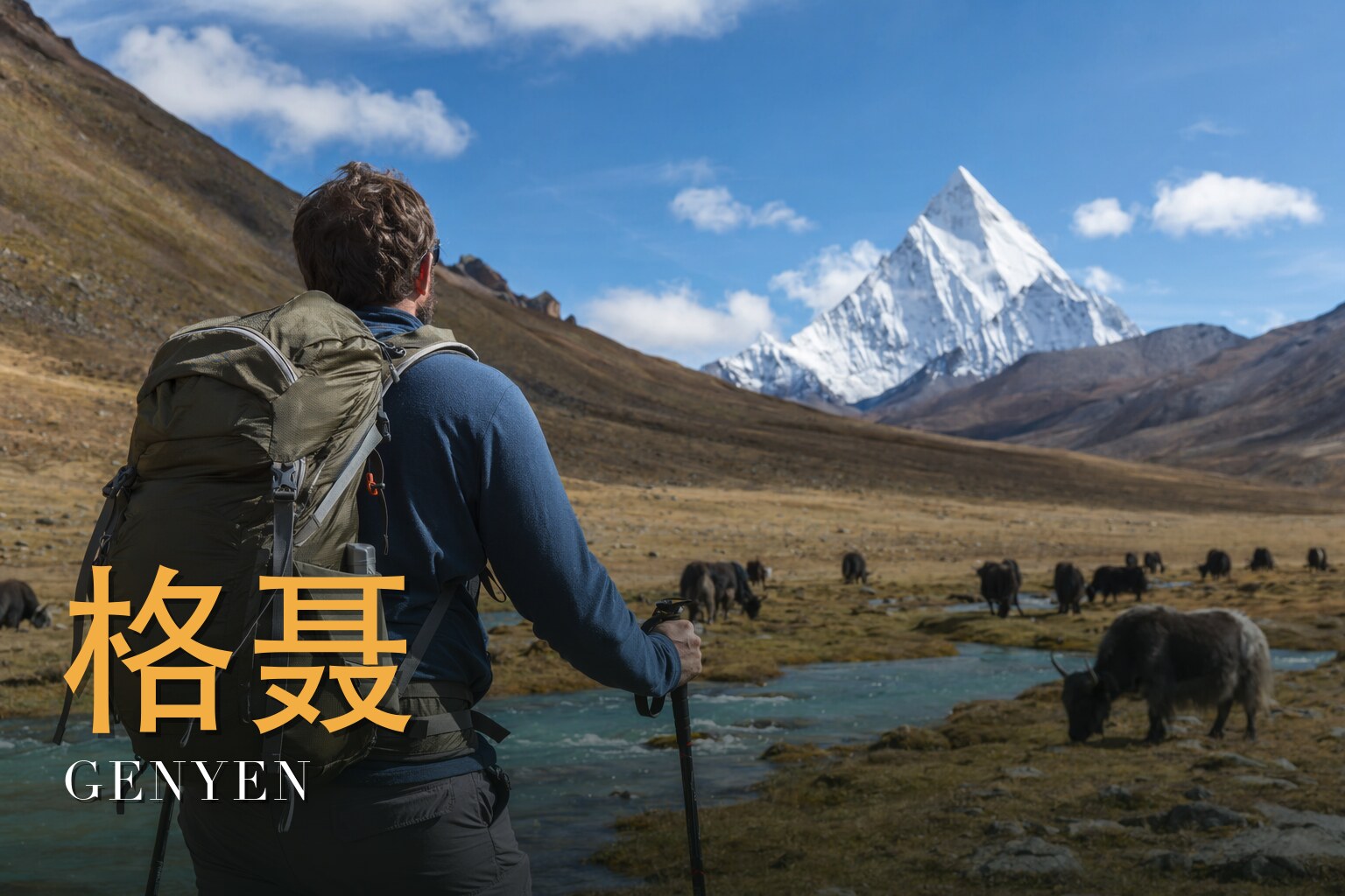
Walking the Lotus: Nine Days Around Genyen
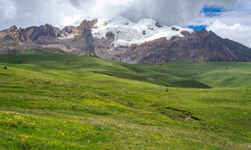
I have stood in Litang at nearly 4,000 metres with my pack cinched tight, looking out at Genyen — and I have come back to lead others toward her. This is the heart of the C Route: nine days, eight nights, almost never below 4,000 metres, circling roughly three-fifths of the way around a sacred Tibetan massif whose summit rises to 6,204 metres. It is a hard walk — challenging, four out of five — with several passes near and above 5,000 metres, and a high point around 4,980 metres where loose rock asks for a careful foot. Come in July or August and the alpine flowers detonate across the slopes; come in early autumn for steadier skies. I love this route because it is remote and unhurried, more pilgrimage than expedition, and because the mountain stays silent no matter how loudly the weather changes.
The land
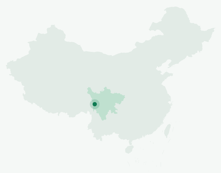
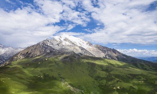
Genyen — *Karma Ribo* in Tibetan — is the high point of the Shaluli Shan in western Sichuan, a granite range in the far reaches of the Hengduan mountains. Its main summit reaches 6,204 metres in the traditional figure (a 2023 official re-survey put it at 6,174.5 metres), with a topographic prominence of around 2,000 metres, which makes it ultra-prominent and visible from a great distance. Its coordinates sit near 29°50′N, 99°42′E. It is worth being precise: Genyen is the highest peak *of the Shaluli range*, not the third-highest mountain in Sichuan in any absolute sense — Gongga's cluster alone holds many summits above it. The main peak is ringed by satellite peaks — Shaza and Kemailong among them — a dozen or so above 5,000 metres, many never climbed.
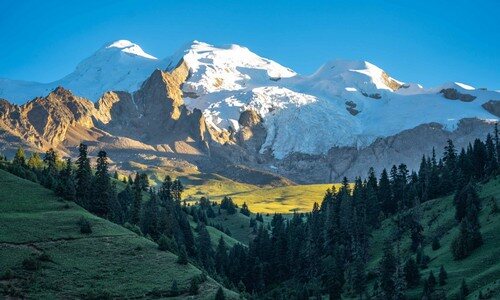
Underfoot is a granite high plateau. Nearby, the Haizi Shan plateau averages around 4,500 metres and holds more than a thousand small lakes, the relics of ancient glaciation; researchers have found that during the Quaternary the Shaluli range carried a polythermal ice cap that left these basins, moraines and glacial striations behind. The eight valleys radiating from the massif give it, from the air, the look of a lotus opening its petals.
A short history
The first recorded ascent of the Genyen massif was made by a Japanese team in 1988, followed by an Italian group who climbed a new route on the east face. The mountains have also taken people back: in November 2006 the American climbers Charlie Fowler and Christine Boskoff disappeared here while attempting the 6,204-metre peak; Fowler's body was found in late December at around 5,300 metres, judged to have died in an avalanche, and Boskoff's was recovered the following July. I tell this not to dramatise but because the range deserves to be approached with humility.
In the valley below stands Lenggu Monastery, formerly known as Kambo Dansar — the first monastery built by the first Karmapa, Düsum Khyenpa, in 1164. It became a Gelug (Yellow Sect) monastery by about the year 1690. Today the old monastery sits abandoned deep in its gorge while a newer monastery stands further down the valley, the two perhaps four kilometres apart.
The path itself is old. This was the western corridor of the Tea Horse Road, the caravan route running through Kangding, Litang and Batang on toward Lhasa — a road for traders and for pilgrims alike. In 1877 the English explorer William Gill passed through the Litang plateau on his way to Batang, later writing his account in *The River of Golden Sand*; by Chinese accounts he gazed at this peak and felt no words could describe it.
The people & their mountains
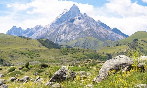
To the Tibetans of this country Genyen is not scenery but a presence. In tradition it is counted among the twenty-four holy mountains of Tibetan Buddhism — ranked thirteenth — and is held to be a sacred site associated with Chakrasamvara. Local people speak of the massif as a lotus, its eight valleys reaching outward like petals, and within Kham it carries the affectionate local name of the first peak of southern Kham. I pass these beliefs along as they were given to me, as living devotion rather than fact to be argued. The trail we follow is also a *kora*, a circumambulation, and many who walk pieces of it walk for merit, not for the view. Monasteries, prayer flags strung across the passes, and stone cairns mark the way; the courtesy is to walk clockwise, to step lightly, and to let the mountain keep its silences.
Walking the route
The rhythm of these nine days is deliberate. We do not fly into the high country and gamble with our blood — we drive up, gaining altitude slowly so the body can learn it, and only then do we walk. Once on foot the days settle into a long, honest cadence: passes in the morning, valleys and camp by afternoon, almost always above 4,000 metres.
Day 1 — Arrive and assemble in Chengdu
We gather in Chengdu, around 500 metres, sort gear and meet one another — the lowland night before everything tilts upward.
Day 2 — Chengdu – Kangding – Litang (4,000 m)
A long road day climbing from the Sichuan basin over high passes to Litang at roughly 4,000 metres; the altitude announces itself, and we go gently.
Day 3 — Litang – Blacksmith Pass (4,770 m) – Lama Pass – Ranrika village (3,750 m)
We cross Blacksmith Pass at about 4,770 metres and Lama Pass, then drop into Ranrika village at around 3,750 metres, the gateway to the inner valleys.
Day 4 — Ranrika – Eye of Genyen – Sanghoma platform – Lengda Campsite (3,800 m)
Near Ranrika lies the Eye of Genyen, a seasonal circular tarn at about 3,885 metres, perhaps 50 metres across, where crimson water-grasses ring the water like a pupil — "the eye that looks to heaven." We pass the smoke-offering platform and camp at Lengda, around 3,800 metres.
Day 5 — Lengda – New Lenggu Monastery – Hangda Campsite (3,800 m)
A day past the new Lenggu Monastery, the living heir to that 1164 foundation, to camp at Hangda near 3,800 metres.
Day 6 — Hangda – Daodao Valley – Reti Campsite (4,180 m)
We follow the Daodao valley deeper into the massif and climb to Reti at about 4,180 metres, the air thinner now.
Day 7 — Reti – Yele Valley – Pass (4,980 m) – Gemu village (3,820 m)
The big day. Up the Yele valley to the high point of the whole route, a pass around 4,980 metres often paved in loose rock, then a long descent to Gemu village at roughly 3,820 metres.
Day 8 — Gemu – Hagala Pass (4,790 m) – Anjiu village (4,200 m) – Litang
One more pass — Hagala at about 4,790 metres — down to Anjiu at around 4,200 metres, and out by road to Litang.
Day 9 — Litang – Kangding – Chengdu
The long road home, unwinding the altitude in reverse, the basin warmth rising to meet us as we descend.
Know before you go
- When to come: July and August for the alpine flower bloom across the meadows and slopes — but this is also the western Sichuan rainy season, when a single day can swing through cloud, rain and sun. Early autumn brings more settled, clear weather and is the other good window. Either way, come ready for cold and wet.
- How hard: Challenging (4/5). You will spend almost the entire trek above 4,000 metres and cross several passes near and above 5,000 metres, with a high point around 4,980 metres. Altitude is the real risk here. We deliberately drive up from Chengdu's ~500 metres and sleep at progressively higher places — Litang and the camps — so the body can acclimatise; there is no flying straight into the high country. If you have any heart, lung or altitude-related condition, consult your doctor before committing.
- Guide or solo: Honestly, this is not a route to wander into alone. It is remote, the navigation across passes and braided valleys is not obvious, mobile signal is weak to absent in the inner valleys, and rescue is slow and far away. The trek is run by a licensed local operator with Tibetan guides who know the ground; Inglite supports foreign clients in English so language is not a barrier. The mountains have killed experienced climbers — going supported here is respect, not weakness.
FAQ
Do I need previous high-altitude experience? Prior trekking experience helps and basic fitness is essential, but the decisive factor is how your body handles altitude, not technical skill — there is no climbing or rope work. The graduated drive-up is built in precisely to give you the best chance of adapting.
How cold and wet will it get? Plan for sub-freezing nights at the high camps even in summer, and for rain or sleet at any time in July–August. Waterproof layers and protection against hypothermia matter as much as warmth; early autumn is drier but still cold up high.
Is there phone signal or electricity along the way? Expect little to none in the inner valleys around the monastery and the high camps. The area is remote and, by a 2019 account, largely off-grid, though roads and development are advancing quickly, so coverage may differ season to season. Treat the trek as genuinely disconnected and tell people at home you will be out of contact.
What about altitude sickness — what if it hits me? It is the most common problem on this route. The itinerary's slow ascent profile is the first defence; beyond that, your guide watches the group, and the only reliable treatment for serious symptoms is descent, which is why being on a supported trip in this terrain matters.
Can I see the Eye of Genyen and the wildflowers on the same trip? The summer window gives the best chance of both — the flowers peak in July and August, and the Eye is a seasonal tarn that fills and greens up later in the season, so timing varies year to year. Early autumn trades some flowers for steadier skies.
Will I have time at the monasteries? The route passes the new Lenggu Monastery and crosses passes marked by prayer flags and cairns. These are active places of worship, not exhibits — walk clockwise, ask before photographing people, and give the sites the quiet they're owed.