Wusun Ancient Road, Ili, Xinjiang · 9 days / 8 nights (6 nights camping) · Challenging (4/5) · $200/day · $1,800 total per person
Duration9 days / 8 nights (6 nights camping)
DifficultyChallenging (4/5)
Max altitude~3,830 m (Akebulake Pass)
Best seasonSummer (July to early September), when the high passes are most reliably passable
Group sizeSmall group (guide-to-guest ratio 1:5)
LanguageEnglish-speaking guide on request · or local guide + Inglite app for English support
Cross the Tianshan on a 2,000-year-old caravan road
Highlights
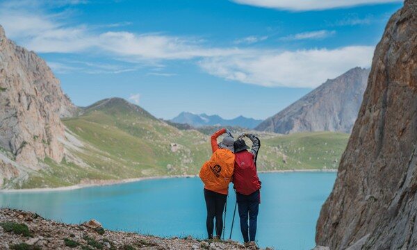
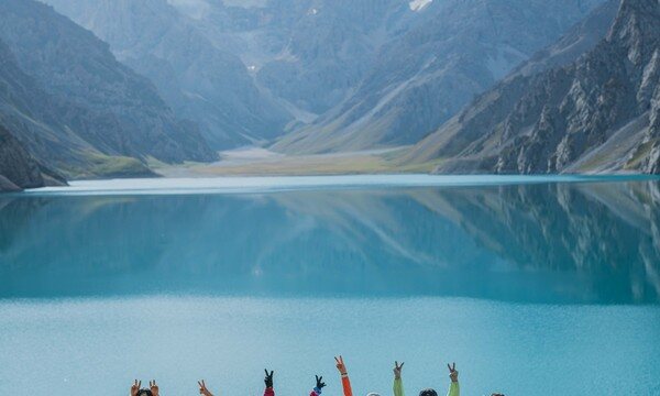
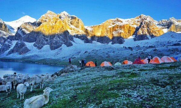
Heavenly Lake (天湖/天池, Tiānhú, 3,050 m) — a glacier-fed alpine lake ringed by snow peaks, widely considered the most beautiful high-mountain lake in Xinjiang, with a full free day to explore its shores
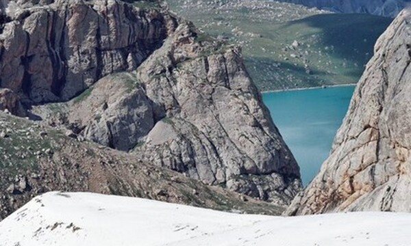
Akebulake Pass (阿克布拉克达坂, 3,830 m) — the trek's high point, a steep, often snow-covered crossing that delivers the wildest scenery of the route
Qiongkushtai village (琼库什台, ~2,000 m) — a traditional timber-built Kazakh settlement at the trailhead, gateway to the ancient road
Tiger's Mouth (老虎口, Lǎohǔkǒu) — a dramatic and much-photographed viewpoint along the lakeside boardwalk beyond Heavenly Lake
Qiong Pass (琼达坂, 3,740 m) — the first major col, reached after a long climb up the Qiongkushtai River through pine forest and pasture
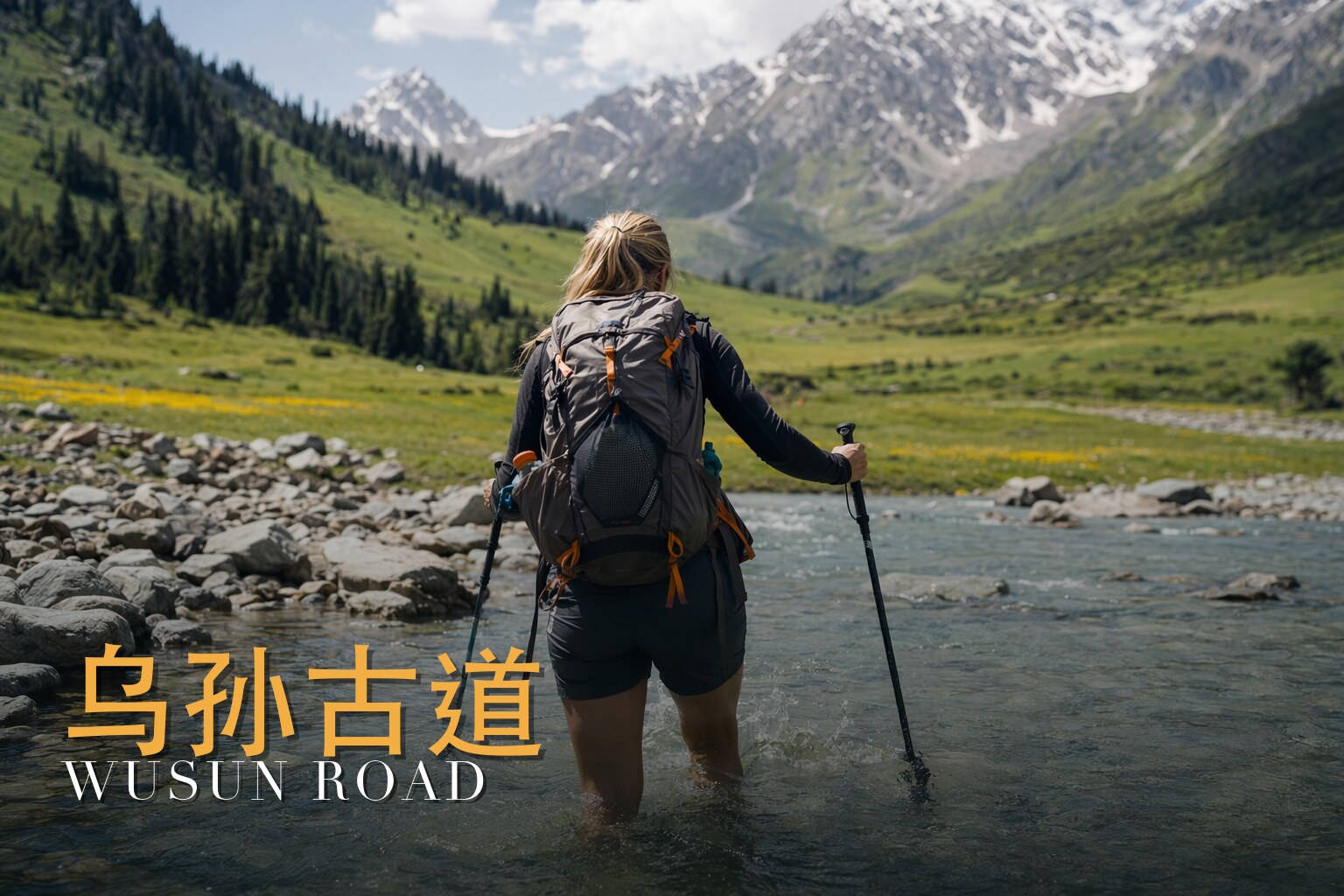
Kekesu and Bozikerige river valleys — sweeping, trail-free gorges with dozens of river fords and an ever-more austere, remote feel
An authentic 2,000-year-old Silk Road and Wusun caravan route — a genuine wilderness traverse with no villages, roads or crowds between trailhead and finish
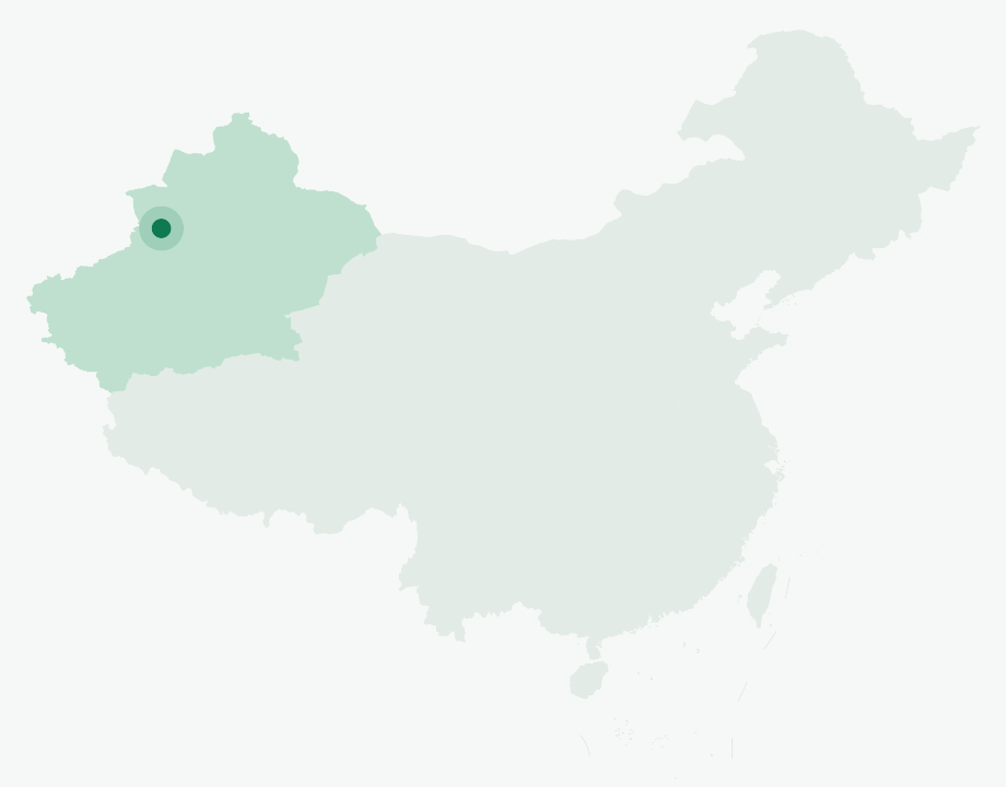
Where in China
📍 Xinjiang · Ili (Wusun Ancient Road), northwest China
What you'll do
The Wusun Ancient Road (乌孙古道, Wūsūn Gǔdào) is one of China's great wilderness traverses — a 110-kilometre line through the heart of the Tianshan that once carried the nomadic Wusun people and Silk Road caravans between the Ili grasslands and the oases of southern Xinjiang. Today it remains gloriously unspoiled: no villages once you leave the trailhead, no roads, just river valleys, spruce forest, high passes and the snow peaks that ring Xinjiang's loveliest alpine lake. This is a true backcountry expedition, supported by pack animals and a professional camp crew, and it rewards every hard-won metre.\n\nThe journey opens in Yining (伊宁) and crosses Tekes County — the famous bagua "Eight Trigrams" town — to the timber-built Kazakh village of Qiongkushtai (琼库什台, ~2,000 m), where the walking begins. From here the route climbs steadily up the Qiongkushtai River through dense pine forest and open pasture, then over the Qiong Pass (琼达坂, 3,740 m) and down to a string of riverside camps. Crossing the Kekesu River, you climb again — fording mountain streams seven times in the forest — to reach Heavenly Lake (天湖/天池, Tiānhú, 3,050 m), encircled by snow-capped peaks and held by many to be the most beautiful high-mountain lake in Xinjiang. A full free day here lets you walk the shoreline, chase changing light across the water, and savour sunrise, sunset and a brilliant canopy of stars.\n\nThe crux comes beyond the lake: the steep, often snow-covered Akebulake Pass (阿克布拉克达坂, 3,830 m), the trek's high point, reached past the celebrated "Tiger's Mouth" (老虎口, Lǎohǔkǒu) viewpoint on the lakeside boardwalk. From there the trail drops into the Bozikerige Valley, where the final two days are defined by repeated river crossings — dozens of them — as the landscape grows wilder and more austere on the descent to the Heiyingshan Pass (黑英山山口, 1,940 m), the southern gateway that ends the walk. A drive to Kuqa (库车) and a celebratory banquet close the adventure.\n\nWith roughly 80 kilometres of trail-free, bridge-free terrain, frequent fords, and a high pass that holds snow even in summer, the Wusun Ancient Road is a committing route for fit, experienced trekkers — and one of the most rewarding wilderness crossings in all of China.
Day by day
Day 1
Assemble in Yining (伊宁)
Gather in Yining, the green capital of the Ili Valley, for the trip briefing and final preparations. Overnight in a Yining hotel.
Day 2
Yining — Tekes — Qiongkushtai trailhead — Qiongkushtai River Valley Camp
Drive ~220 km (about 5 hours) through Tekes County, the famous bagua 'Eight Trigrams' town, reaching the Qiongkushtai trailhead (~2,000 m) around midday. Hike ~10 km upstream along the Qiongkushtai River through dense pine forest and pasture to a riverside meadow camp (~2,500 m); ascent ~500 m, about 4 hours.
Day 3
Qiongkushtai River Valley Camp — Qiong Pass (琼达坂, 3,740 m) — Kunuosayi Camp (3,300 m)
Climb steadily up the valley to the confluence of two rivers, then turn into the right-hand valley and scramble over scree to cross the Qiong Pass at 3,740 m before descending to Kunuosayi Camp. ~17 km, ascent ~1,240 m, descent ~440 m, about 8 hours.
Day 4
Kunuosayi Camp — Kekesu River Camp (阔克苏河营地, 2,000 m)
A long descent through valleys and meadows with a big altitude loss (knee supports recommended), fording a dozen small streams. Reach the Kekesu River and follow it downstream to a camp near the cable footbridge, where a local herders' shop sometimes operates. ~15 km, descent ~1,300 m, about 7 hours.
Day 5
Kekesu River Camp — Heavenly Lake (天湖/天池, Tiānhú, 3,050 m)
Cross the river by the new iron bridge, enter the forest and ford streams seven times, then climb gradually through meadow and woodland. In the afternoon cross a small pass and continue to camp beside Heavenly Lake at 3,050 m. ~18 km, ascent ~1,050 m, about 8 hours.
Day 6
Heavenly Lake — free day
A full rest and exploration day at the trip's scenic highlight, ringed by snow peaks. Walk the shoreline for different perspectives on the lake, or simply relax lakeside with sunrise, sunset and dazzling night skies.
Day 7
Heavenly Lake — Tiger's Mouth (老虎口) — Akebulake Pass (阿克布拉克达坂, 3,830 m) — Upper Bozikerige Valley Camp (3,000 m)
Follow the lakeside boardwalk past the renowned Tiger's Mouth viewpoint, then climb the steep, often snow-covered Akebulake Pass — the trek's high point at 3,830 m. Descend more than 800 m into the Bozikerige Valley to a riverside camp at 3,000 m. ~15 km, ascent ~780 m, descent ~830 m, about 7 hours.
Day 8
Upper Bozikerige Valley Camp (3,000 m) — Lower Bozikerige Valley Camp (2,180 m)
Continue down the Bozikerige Valley, where the real challenge begins: crossing the river dozens of times along the banks. The vegetation thins and the landscape turns wild and desolate before camp in a riverside forest. ~22 km, ascent ~820 m, about 8 hours.
Day 9
Lower Bozikerige Valley Camp — Heiyingshan Pass (黑英山山口, 1,940 m) — Kuqa (库车)
Twenty-plus more river crossings down the broad valley bring you to the Heiyingshan Pass, marking the end of the trek. Drive on to Kuqa, where a celebratory banquet rounds off the journey. Hike ~12 km, descent ~240 m, about 4 hours, plus the transfer drive.
Why this trek
Xinjiang's most beautiful alpine lake
A full free day at Heavenly Lake (Tiānhú, 3,050 m), a glacier-fed lake ringed by snow peaks and widely held to be the loveliest in Xinjiang, with time to walk its shores and soak up sunrise, sunset and star-filled skies.
A true 2,000-year-old wilderness traverse
110 km along a genuine Wusun and Silk Road caravan route — no villages, roads or crowds between trailhead and finish, just river valleys, forest and high passes.
Fully supported backcountry camping
Pack animals carry your gear, certified guides keep a 1:5 ratio, and a dedicated crew runs the kitchen and camp so you can focus on the walking.
A genuine 4/5 mountain challenge
Dozens of river fords, trail-free valleys and the steep, snow-holding Akebulake Pass at 3,830 m make this a committing route for fit, experienced trekkers.
Included
Professional licensed outdoor guides (guide-to-guest ratio 1:5), an outdoor cook and logistics support staff
Private vehicle transfers along the route (Yining → Qiongkushtai and Heiyingshan Pass → Kuqa)
Accommodation: 1 night in a Yining hotel (standard twin room) plus 6 nights of camping
Light-pack portering: pack animals and vehicles carry personal gear (up to 15 kg per person) plus shared supplies, including handlers' fees
Personal camp equipment: waterproof duffel, three-person tents (shared by two), foam sleeping mats, foil ground sheets and a folding chair per person
Shared camp equipment: dining and kitchen tents, table, power supply (solar generator for larger groups), satellite phone, pulse oximeter, toilet tent, cookware, radios, ropes and a first-aid kit
All camp meals during the trek (breakfasts, balanced four-dish-and-soup or hotpot dinners, daily fresh fruit) and a celebratory banquet in Kuqa
FAQ
How many days is the Wusun Ancient Road trek?
Wusun Ancient Road runs 9 days / 8 nights (6 nights camping).
How hard is the Wusun Ancient Road trek?
It's rated Challenging (4/5), topping out around ~3,830 m (Akebulake Pass). Reasonable hiking fitness and time to acclimatize to altitude are recommended.
What is the maximum altitude on the Wusun Ancient Road trek?
The high point is around ~3,830 m (Akebulake Pass). Acclimatize gradually and take altitude-sickness precautions — consult your doctor before any high-altitude trek.
What is the best time to do the Wusun Ancient Road trek?
The best seasons are Summer (July to early September), when the high passes are most reliably passable.
Do I need a guide for the Wusun Ancient Road trek, and is there English support?
English-speaking guide on request · or local guide + Inglite app for English support It's run by an independent, licensed local mountain operator, with Inglite supporting you in English the whole way.
How much does the Wusun Ancient Road trek cost?
Approximately $1800 per person ($200/day · $1,800 total). You arrange payment directly with the licensed local operator — Inglite never collects payment.
Who runs this
This trek is operated by an experienced, fully licensed local Xinjiang mountain operator with more than two decades in the field, professional certified guides and a complete support crew. English-speaking assistance is available throughout via the Inglite app and your guide.
Run by an independent, licensed local operator. You arrange payment with the operator directly — Inglite connects you and never collects payment. Outdoor travel carries inherent risks; we recommend travel/outdoor insurance. Terms