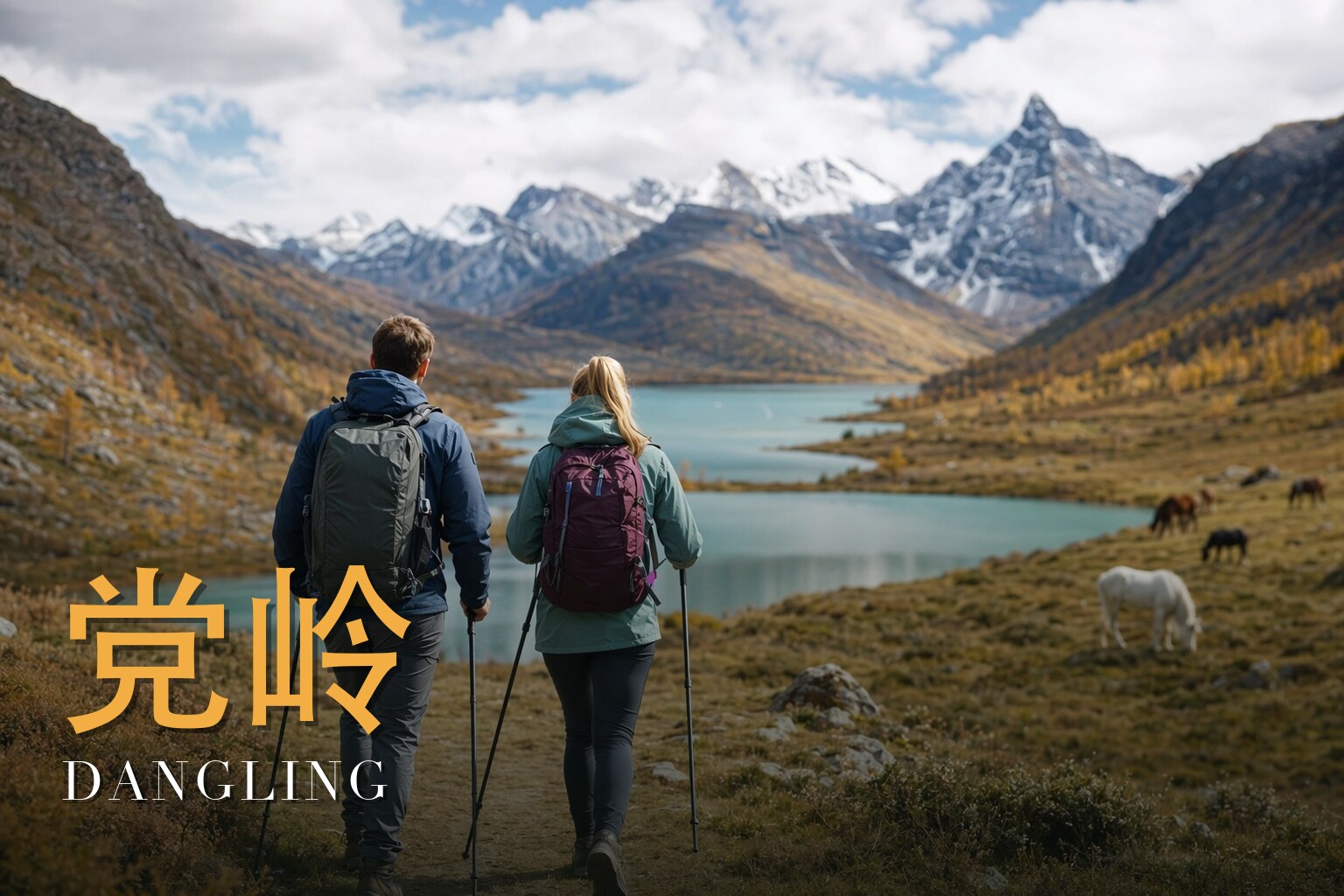
Where the Glacier Lakes Hang Below the Snow Gods
I have walked this route in the gold of October and again when the rhododendrons set the slopes alight, and as the licensed local lead guide I still feel the same small jolt the first time Zhuoyong Lake comes into view — turquoise water held in a bowl of bare rock, a wall of white peaks leaning over it. This is six days, and it asks something of you: we climb from the warm lowlands of Sichuan to a high point near 4,300 m, and we live for several days up around 4,000 m, so I call it moderate-to-challenging and mean it. But the reward is rare. You walk into the Dangling massif, a hidden corner of the Hengduan Mountains where glacier-fed lakes, sacred summits, golden larch and steaming wild springs all sit within a day of one another. Come mid-May to June for the flowers, or mid-October for the larch. Either way, walk it slowly — and as a guest.

The land
The Dangling massif sits in the Hengduan Mountains, in Bianer Township of Danba County, within the Garzê (Ganzi) Tibetan Autonomous Prefecture of western Sichuan. The village lies at about 3,400 m, roughly 68 km from the county seat, on the eastern edge of the Tibetan Plateau where it tips down toward the Sichuan Basin.
The Hengduan range is unusual. Where most great Asian ranges run east–west, these run roughly north–south — a band of parallel ridges thrown up by the collision of the Indian subcontinent with Eurasia, then sawn into deep gorges by the upper Yangtze, Mekong and Salween. The system runs about 900 km north to south and around 400 km across at its narrowest definition, with elevations from roughly 1,300 m in the valley bottoms to over 6,000 m on the highest summits. The drainage here at Dangling belongs to the Dadu River system.
What makes these mountains extraordinary is what didn't happen to them: most of the area escaped glaciation during the ice ages, leaving a refuge where life kept evolving while colder lands were scoured clean. The north–south corridors and a thousand small microclimates have made the Hengduan one of the great temperate-biodiversity hotspots on Earth — a world centre for rhododendrons, conifers, larch, and the Tibetan blue poppy.
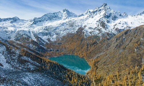
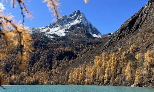
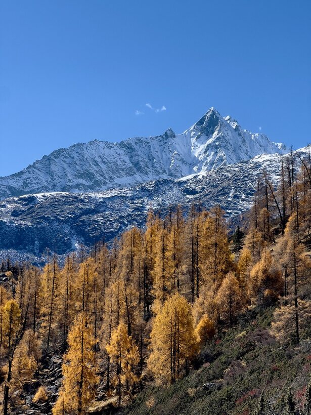
At Dangling's heart stands the sacred peak Xiaqiangla, about 5,470 m — in the local Tibetan, the "beautiful-goddess mountain" — ringed by some 28 summits over 5,000 m. Beneath them hang the lakes I've come to love: Jiayila around 4,000 m, the gourd-shaped Gourd Lake (葫芦海, "Gourd Sea") near 4,100 m, and Zhuoyong Lake at about 4,300 m, the trek's high point. The Gourd Lake is a relic of Quaternary glaciation. The colour of these waters — turquoise shading to milk — is rock flour, glacier-ground stone hanging in the meltwater.
A short history
We approach Dangling through Danba, the heartland of the Jiarong (Gyalrong) Tibetans, and the history that first drew this borderland onto the wider map is written into the landscape itself: the watchtowers. More than two hundred polygonal stone towers stand in Danba's valleys, some over 30 m tall, built somewhere between roughly 800 and 1,200 years ago — locally nicknamed the "Oriental Pyramids."
These fortress-towers made the neighbouring valleys the stage for the Qing dynasty's Jinchuan campaigns (1747–49 and 1771–76), among the costliest wars the Qianlong Emperor ever fought — and the way this corner of the Sino-Tibetan world entered the broader historical record. Danba is also fondly called the "Valley of Beauties." That name folk tradition ties to Western Xia refugees and to the sacred pilgrimage mountain Murdo — but I'll pass it on as legend, not record, because that is honestly what it is.
The drive home on the final day touches one more piece of history: Luding, where the iron-chain Luding Bridge spans the Dadu River — the site of the celebrated 1935 Long March crossing.
The people & their mountains
The Jiarong (Gyalrong) are Tibetans with their own language, a branch of the Qiangic tongues within the Sino-Tibetan family. Their Buddhism is layered over an older Bon substrate: Gelug missionaries arrived from central Tibet in the early 15th century, building monasteries among communities that had long held older beliefs. Since 1949 the Gyalrong have been classified as Tibetan.
I want to be plain about something I repeat on the trail every day: these are living sacred mountains and inhabited villages, not scenery. Xiaqiangla is a pilgrimage peak revered by the people who live beneath it. The lakes, the towers, and the high hamlet of Moska all belong to a community that still calls this home.
Moska itself is one of the quiet wonders of the route — a near off-grid Jiarong hamlet at about 4,300 m, wrapped in sacred snow peaks, recognized on the Traditional Village listing and famous for its fearless, almost tame marmots. They are wild animals living a protected life among people who leave them be; we watch, and we let them be too.
Walking the route
The thing I try to prepare people for is the shape of the journey, not just the miles. We start low and warm in Chengdu and end high and thin-aired among glaciers, and the trek is really a slow climb onto the roof of this corner of the world. The hard heart of it is the day around the lakes — the leg up to Gourd Lake is roughly 7 km one way with about 800 m of gain, steep and muddy when it's wet. Horses help on the gentler middle stretches but not the steepest or rockiest parts. You spend several days between 4,000 and 4,300 m, so pace and acclimatization are not optional; they are the trek.
Day 1 — Arrival and assembly in Chengdu (成都)
We gather in Chengdu, sort kit, talk through altitude and pace, and rest. This day is for the slow start your body will thank you for later.
Day 2 — Chengdu → Siguniang Mountain (四姑娘山) → Danba Tibetan villages (丹巴藏寨, 2,200 m)
The road climbs over the Qionglai range past Siguniang Mountain, the "Four Maidens," before dropping into the watchtower country of Danba, where we overnight among the Tibetan villages at about 2,200 m.
Day 3 — Danba → Kaerza (喀尔扎) → Jiayila Lake (甲依拉措, 4,000 m) → Dangling Village (党岭村, 3,400 m)
We climb through Kaerza toward Jiayila Lake at around 4,000 m — your first glacier-fed tarn — then settle in at Dangling Village near 3,400 m, the base for the days ahead.
Day 4 — Dangling Village → Feiji Meadow (飞机坪) → Gourd Lake (葫芦海, 4,100 m) → Zhuoyong Lake (卓雍措, 4,300 m) → Dangling Village
The big day. We cross Feiji Meadow — local accounts give it a colourful name, though I won't vouch for the story — and climb the steep, often muddy trail to Gourd Lake near 4,100 m, then push to Zhuoyong Lake at about 4,300 m, the high point, with its wall of peaks doubled in the water. We return to the village for the night.
Day 5 — Dangling Village → Moska (莫斯卡, 4,300 m) → Danba County town (丹巴县城, 2,000 m)
We reach Moska at about 4,300 m, its sacred snow peaks and famous marmots, then make the long descent to Danba County town at around 2,000 m — thicker air, a hot meal, a proper bed.
Day 6 — Danba County town → Luding (泸定) → Chengdu
The road home passes Luding and its iron-chain bridge over the Dadu River before delivering us back to Chengdu.
Know before you go
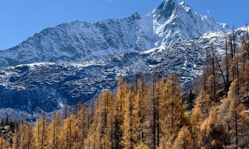
- When to come: Two windows. Mid-May to June, when the rhododendrons blaze across the slopes (the Hengduan is a world hotspot for them); or mid-October, when the larch forests turn gold and the Gourd Lake reaches its peak autumn colour. Outside these, weather and access grow unpredictable.
- How hard: Moderate-challenging (about 3.5 out of 5). The headline issue is altitude: a high point near 4,300 m and several days lived between 4,000 and 4,300 m, with one long, steep, sometimes muddy climb (~7 km one way, ~800 m gain) to the lakes. Acclimatize, ascend gradually, hydrate, and don't rush. If you have heart, lung, or blood-pressure conditions, or any concern about high altitude, consult your doctor before committing.
- Guide or solo: I'll be honest — I would not walk this solo, and not only because it's my trade. The trail is remote, weather turns fast, signage is minimal and navigation off the main line is genuinely confusing in mist. Cell coverage is patchy to absent above the village; a rescue is hours of difficult ground away. English is rarely spoken in these valleys, and these are sacred, inhabited places where local guidance keeps you both safe and respectful. A licensed local guide is the difference between a hard day and a dangerous one.
FAQ
How fit do I need to be? Fit enough for several consecutive days of mountain walking, including one long climb of around 800 m at altitude on uneven, sometimes muddy ground. You don't need technical skills — no ropes, no glacier travel — but steady aerobic fitness and patience with thin air matter far more than speed.
Can the horses carry me the whole way? No. Horses help on the gentler middle stretches and can ease the load, but they can't manage the steepest or rockiest sections — including parts of the climb to Gourd Lake. Plan to walk the hard ground on your own feet.
Will the altitude make me sick? It can. We sleep low at the start and climb gradually for exactly this reason. Mild headache or breathlessness is common; the right response is to slow down, drink water, and tell your guide early. Anyone with relevant medical conditions should speak to a doctor beforehand, and some travellers discuss preventive medication with their physician.
Are the hot springs real, and can I use them? Yes — there are wild hot springs about 4 km south of Dangling village, fed year-round, with mineral water reaching high temperatures (sources cite peak outlet temperatures up to around 75°C). Treat them with care: water that hot demands caution, and they sit in a place that is sacred to local people.
What should I know about visiting Moska and meeting the marmots? Moska is a living, near off-grid Jiarong village, not an attraction. The marmots are tame because they're left in peace — watch them, photograph them, but don't feed or chase them, and follow your guide's lead on where it's appropriate to walk and photograph in the village.
What's the weather like up high? Changeable and cold at altitude even in the good seasons, with strong sun by day and near-freezing nights, and rain or snow possible any month. Layers, real waterproofs, sun protection and warm gloves for the high mornings are essential regardless of when you come.