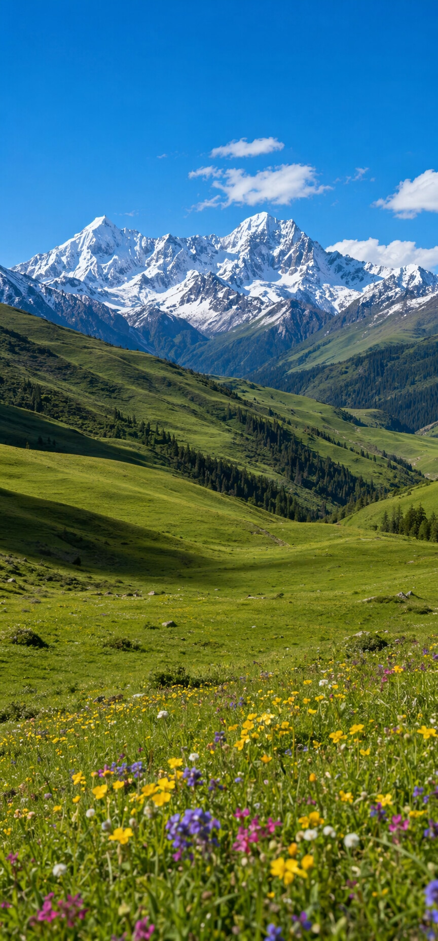
The first time you see Genyen, it is from a pass on the road out of Litang, and it is not alone. The whole skyline stands up at once — Genyen, Xiaozha, and a line of attendant peaks rising off the grassland like a wall — and the driver pulls over without being asked, because everyone always asks.
Genyen is 6,204 metres, the highest mountain in southern Kham and the third-highest in Sichuan, and almost nobody outside China has heard of it. Pilgrims have. In the Tibetan tradition it is counted among the twenty-four sacred mountains, the thirteenth of them, a holy ground of Chakrasamvara — which puts this quiet massif, on paper, in the same devotional company as Mount Kailash. The 318 highway passes just north of it. The crowds stay on the highway.
This is the story of the eight-day grand loop around it — five days of it on foot, seventy-seven kilometres, over one 4,980-metre pass — as we walk it in the flower season.
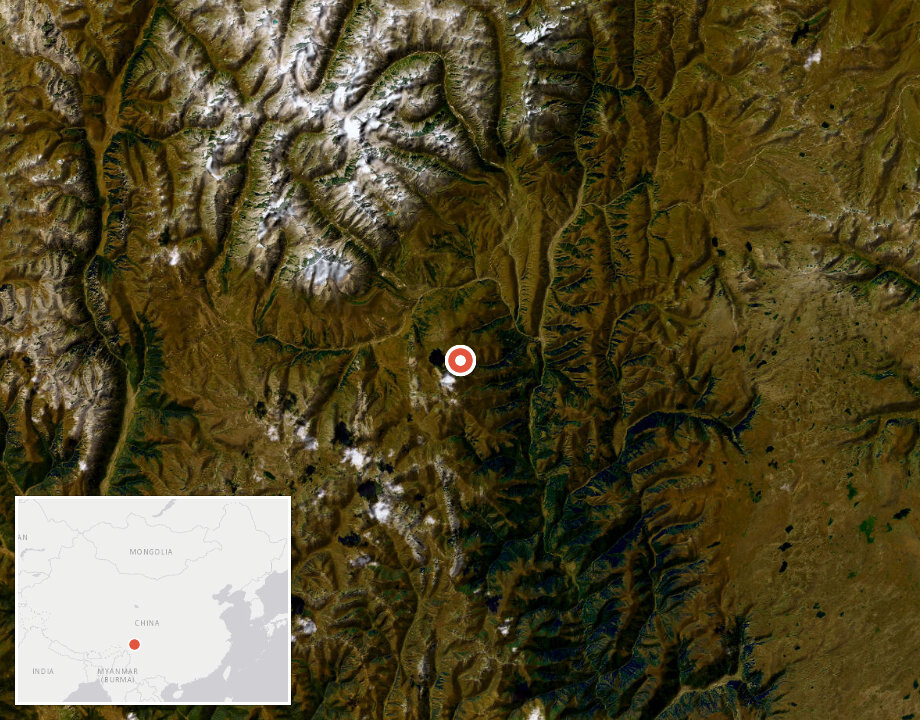
Litang and the road in
The loop starts and ends in Chengdu, but its real gateway is Litang, the famous "high city" at roughly 4,000 metres, reached by a long day on the G318 over Zheduo Pass and a rosary of 4,000-metre passes beyond it. Litang matters to the trek for a reason beyond romance: sleeping here for a night is your first, mandatory acclimatisation stop, and its grassland horsemen culture is the human landscape the whole route lives in.
From Litang the road climbs over Tiejiangshan Pass at 4,770 metres and drops into the valley country, and this is where the mountain introduces itself properly — from the Laze pass you can count the snow peaks standing in a row: Genyen, Xiaozha, and their neighbours, ranged left to right across the horizon.
The Eye
On the way toward the monastery the track crosses a shelf of high meadow, and in the middle of the meadow there is a small round lake that has become the route's icon: locals call it Genyen's Eye. Seen from the slope above, the water lies in concentric rings of colour, a pupil inside an iris, staring straight up at the sky in front of the mountain. Nobody dug it, nobody arranged it; it is simply a lake that happens to look back.
Our lead guide likes to let the group find it without warning. The drone photographers get theirs; the rest of us mostly just stand there.
Lenggu — the cold monastery under the glacier
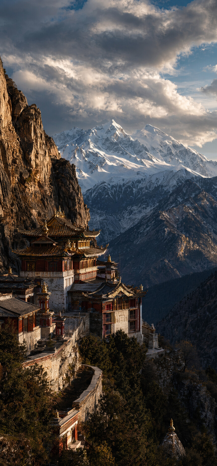
Half a day further on, the trail reaches Lenggu Monastery, one of the oldest seats of Buddhism in this part of Kham. Its lineage runs back to Düsum Khyenpa, the first Karmapa, who established a monastery below Genyen in the twelfth century; the buildings you see today are younger, stacked in tiers against the hillside, facing the peak's northern glacier across the valley. The old monastery is a short, light walk from the newer complex where trekkers sleep — one side of it looks down an open gorge, the other straight into a wall of thousand-year-old ice.
The monks keep three relics that the faithful travel a long way to see: a mother-deer antler said to have been treasured by the first Karmapa himself, a rare conch shell whose spiral turns the "wrong" way, and a stone heart — the "heart of Genyen." Seeing them, quietly and with the monastery's permission, is part of the route.
The flower sea
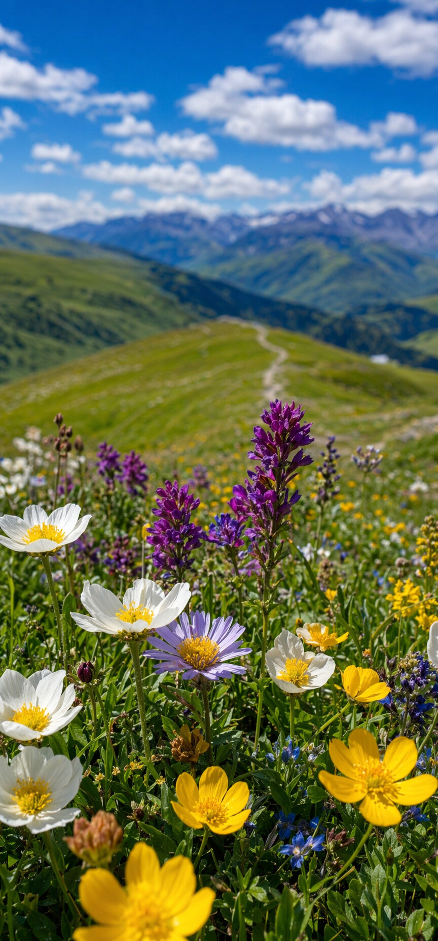
From Lenggu the walking gets serious: through old-growth forest, up onto open grassland with the massif on one shoulder and a plain of wildflowers on the other, down across a river valley and up one last climb to camp on a terrace directly beneath Genyen's south face.
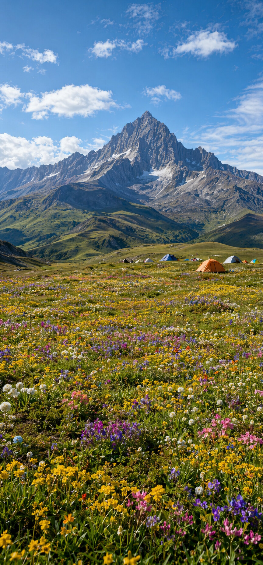
In July and August this terrace is the reason the route exists. Yellow, blue, white, purple — gentians and primulas and a hundred things nobody in the group can name — flowering so densely that the tents look like they were pitched on a painting. Unzip the door and the glacier is right there. In late September the same terrace turns to gold instead, and the crowds, such as they ever were, are gone entirely.
The next day is a long ridge traverse — a dozen small gullies, one after another, with the mountain keeping pace beside you all day — down at last into the Reti valley, where a hot spring steams beside the river and you sleep at 4,180 metres in the last camp with Genyen still in view.
Over the 4,980-metre pass
Day six is the day the route asks something of you: around twenty kilometres and ten hours, eight hundred metres up and a thousand down. The morning is a five-hour climb to the pass at 4,980 metres — cold, windy, and with the finest farewell view of Genyen on the whole loop. Our guides don't linger long up there; the wind takes the warmth out of you quickly. Then the long descent begins, down the Lapu valley, hour after hour, to a camp on the edge of Gemu village.
Gemu is the route's second act. The valley it sits in is the kind of place Chinese hikers describe as "four seasons in one day, a different sky every ten li" — a layered, sub-alpine world of forest, cliff and river that some call the most beautiful mountain scenery in the Hengduan ranges. After days of open high country it feels almost tropical.
Hot springs, a river crossing, and the grassland road home
The last walking day crosses Haga-la Pass at 4,790 metres — reached by a short drive from the village — and then descends the Hari valley for most of a day. There is one wide, cold river crossing near the bottom; the reward, minutes later, is a natural hot spring where the whole group ends up sitting with their boots off, laughing at each other. At Anjiu village the trail meets the road, the horse crew says goodbye, and vehicles carry you across the Maoya grassland — yaks to the horizon — back to Litang for a hot shower and a real bed.
Day eight is the long drive back to Chengdu, arriving in the evening. Plan your onward travel for late that night or, better, the next morning; the mountain roads of western Sichuan keep their own schedule.
What this trek actually asks of you
Honest difficulty: this is a genuine 4-out-of-5. The walking days run seven to twenty kilometres, three of them back-to-back at sixteen to twenty; everything happens between 3,900 and 4,980 metres; and day six is a real high-mountain day by any standard. What makes it achievable for a strong hiker — rather than an expedition — is the support structure: pack animals carry the loads, camps are pitched and cooked for you, and the itinerary builds altitude patiently, with two nights around 4,000 metres before the first camp above it.
The season is short and specific. July and August are the flower months, when the south-face terrace does its impossible thing; late September into October trades flowers for gold and the clearest skies of the year. Outside those windows the passes and the weather make their own rules.
If you take one thing from this guide, let it be this: the great circuits of Tibet and Nepal earned their fame honestly, but they are no longer secrets. Genyen still is. Walk it while that sentence stays true.