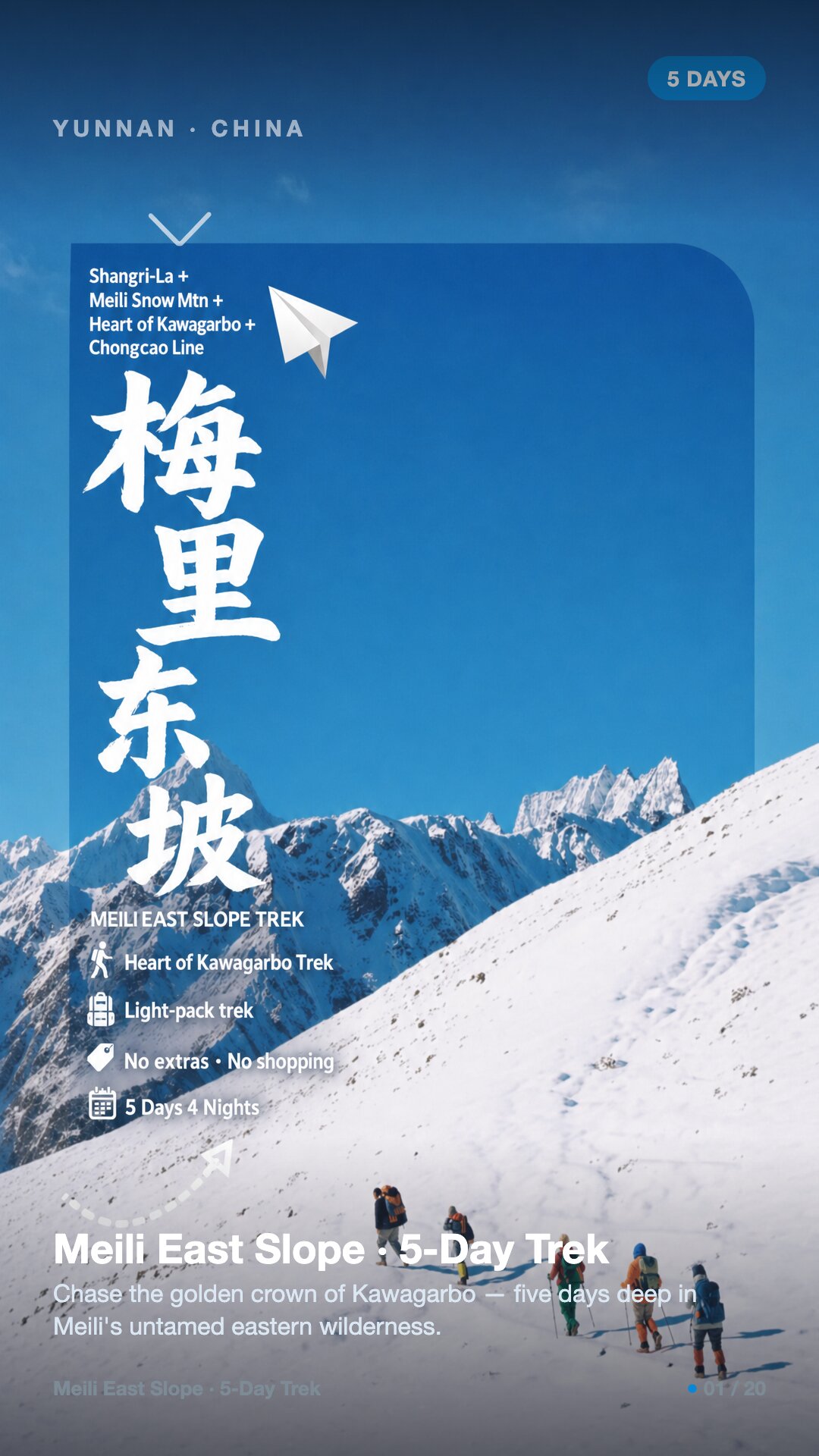
Meili East Slope (Kawagarbo), Yunnan · 5 days / 4 nights · Challenging (4/5) · camping · max ~4,000 m · $204/day · $1,020 total per person
Chase the golden crown of Kawagarbo — five days deep in Meili's untamed eastern wilderness.
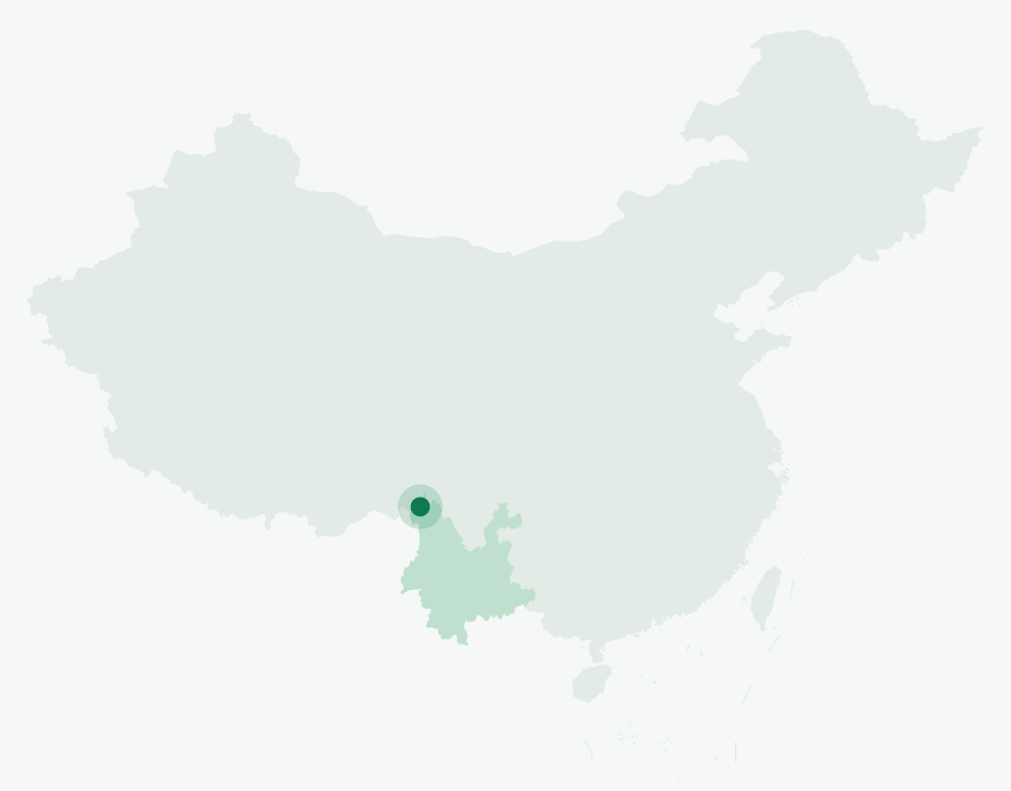
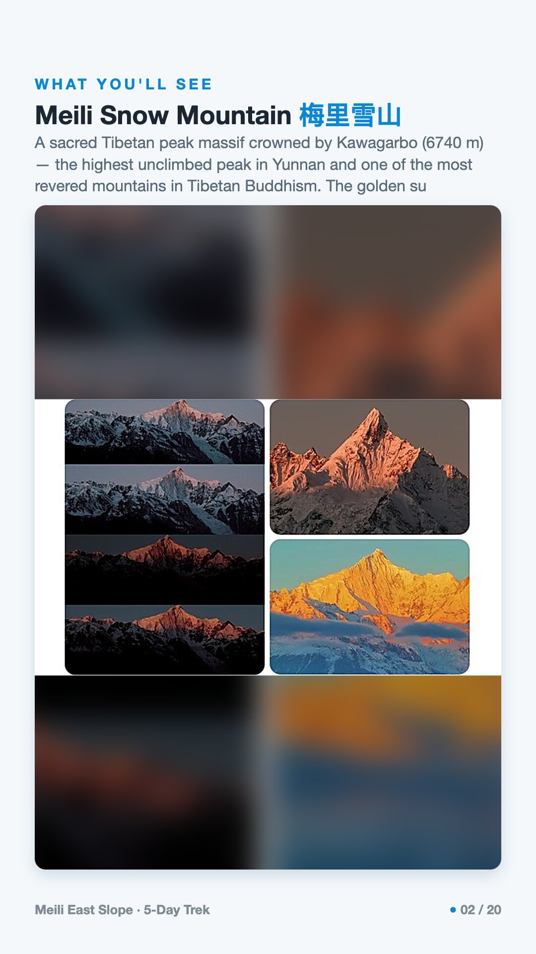
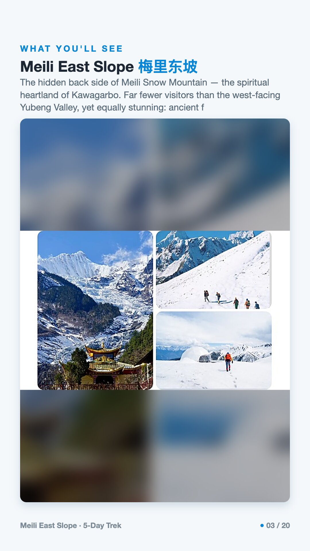
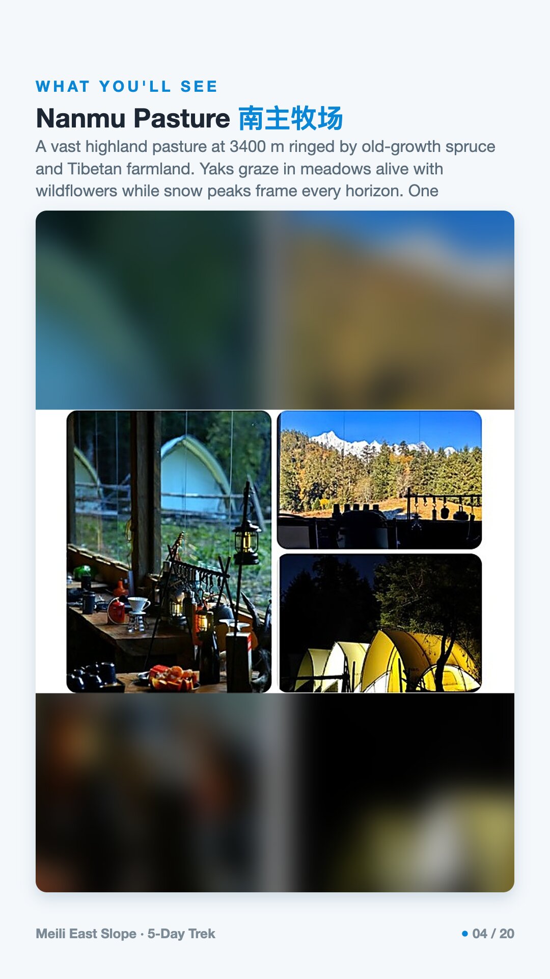
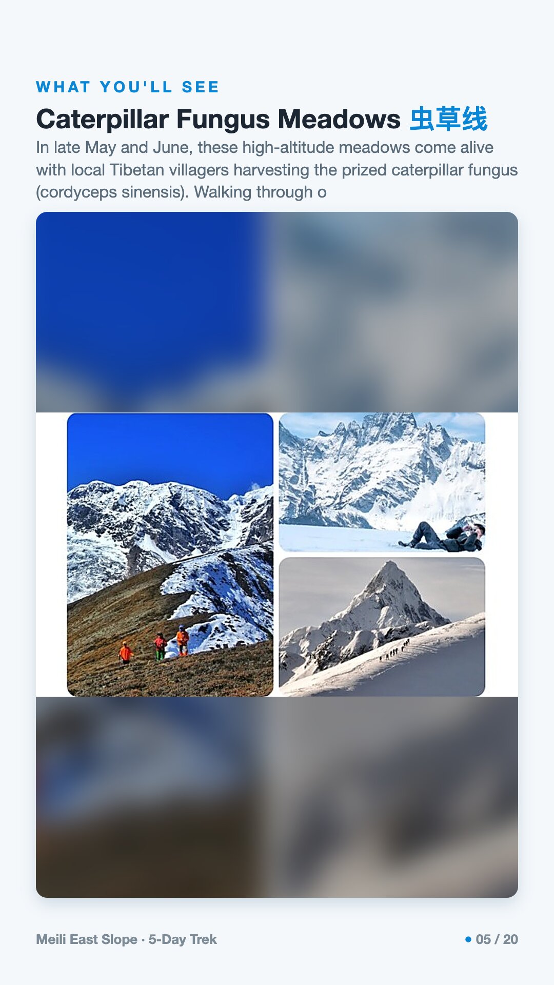
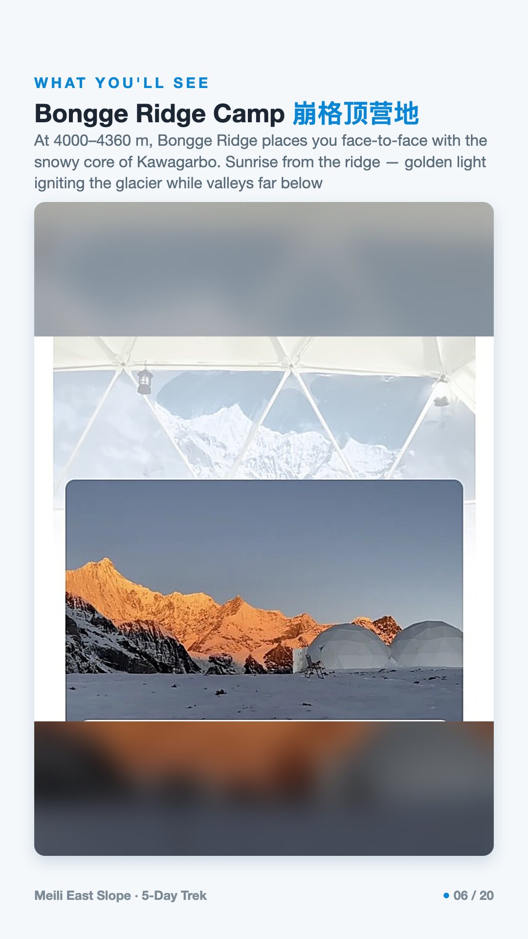
Meili Snow Mountain is a thirteen-peak massif above Deqin in southwest China, headed by Kawagarbo at 6,740 m — the highest unclimbed peak in Yunnan and one of the most revered mountains in Tibetan Buddhism. The standard view is from Feilai Temple, a terrace at about 3,300 m facing the peaks across the Lancang gorge. The trek pauses at that terrace, then drops through the canyon to the trailhead village on the east slope. The east slope draws far fewer walkers than the west-facing Yubeng valley, and Tibetans treat it as Kawagarbo's heartland. The ground changes fast with height: old spruce and fir forest low down, the highland pasture of Nanmu at 3,400 m where herders graze yaks, then tundra and snow above the treeline. In late May and June the high meadows fill with villagers digging caterpillar fungus. You walk on three of the five days, about 30 km. One stretch is a gentle forest climb to 3,400 m; the demanding one is about 9 km over open tundra to Bongge Ridge at 4,360 m, with camp just below at about 4,000 m — close under Kawagarbo's snow core, below freezing at night, and the vantage point for alpenglow at first light. The longest day covers some 16 km and 2,000 m of descent through rhododendron and bamboo. Graded challenging, 4 of 5; waterproof boots with ankle support are mandatory. Mountain nights are under canvas: tents, sleeping bags and mats supplied, and a cook at camp makes hot meals rather than ration packs. Horse teams carry the group kit, so you walk with a daypack, and the licensed local guides carry oxygen, radios and first aid. It suits fit walkers happy to camp at altitude, between May and October.
Meili East Slope runs 5 days / 4 nights.
It's rated Challenging (4/5) · camping, topping out around ~4,000 m. Reasonable hiking fitness and time to acclimatize to altitude are recommended.
The high point is around ~4,000 m. Acclimatize gradually and take altitude-sickness precautions — consult your doctor before any high-altitude trek.
The best seasons are May–Oct.
English-speaking guide on request · or local guide + Inglite app for English support It's run by an independent, licensed local mountain operator, with Inglite supporting you in English the whole way.
Approximately $1020 per person ($204/day · $1,020 total). You arrange payment directly with the licensed local operator — Inglite never collects payment.
Key items: Waterproof trekking boots with ankle support. These are mandatory — trail conditions require them., A warm down jacket; temperatures drop below 0 °C at the Bongge Ridge camp., Moisture-wicking base layers, top and bottom., A waterproof outer shell jacket and trousers., A fleece or softshell mid-layer., A warm hat, gloves, and a neck gaiter or buff., UV400 sunglasses — high-altitude UV radiation is intense., SPF50+ sunscreen and lip balm..
Operated by an independent, licensed local mountain operator in Yunnan. Inglite connects you and supports you in English the whole way; you arrange payment with the operator directly.
Run by an independent, licensed local operator. You arrange payment with the operator directly — Inglite connects you and never collects payment. Outdoor travel carries inherent risks; travel insurance with high-altitude and evacuation cover is required. Booking & refunds · Terms
— or send a request below —
✅ Request received! Reference
We reply within 24h. Fastest: message us on WhatsApp and mention your reference.
Chat on WhatsAppFive days, four nights, deep in the eastern wilderness of the Meili Snow Mountains, and it is worth saying plainly: this is not a comfortable walk. It is a challenging one — four out of five — with camps and passes climbing to around 4,000 metres, mud and rain and thin air doing more to test you than the terrain itself. Come between May and October, when the trails are passable and the morning sky might, if it pleases, open. The draw here is not conquest. You walk for five days beneath Kawagarbo, a peak no human has ever stood on top of, and that is the whole point. You come here to look up.
Kawagarbo rises to 6,740 metres (22,113 feet) — the highest peak in Yunnan and the crowning summit of the Meili Snow Mountains, a wall of ice on the Tibet–Yunnan border in Deqin County. These mountains belong to the Hengduan ranges, crumpled up at the eastern edge of the Tibetan Plateau by the same slow collision of India into Asia that built the Himalaya — an uplift that began some fifty million years ago and has never quite stopped.
Walk here and you are between two of the great rivers of Asia. Just west runs the Salween (Nujiang); just east, the Mekong (Lancang) — both carving deep, parallel gorges. This is the Three Parallel Rivers region, inscribed as a UNESCO World Heritage Site in 2003: roughly 1.7 million hectares where gorges plunge as much as 3,000 metres beside peaks over 6,000, sheltering more than 6,000 species of plants. It is one of the most biologically rich temperate landscapes on Earth.
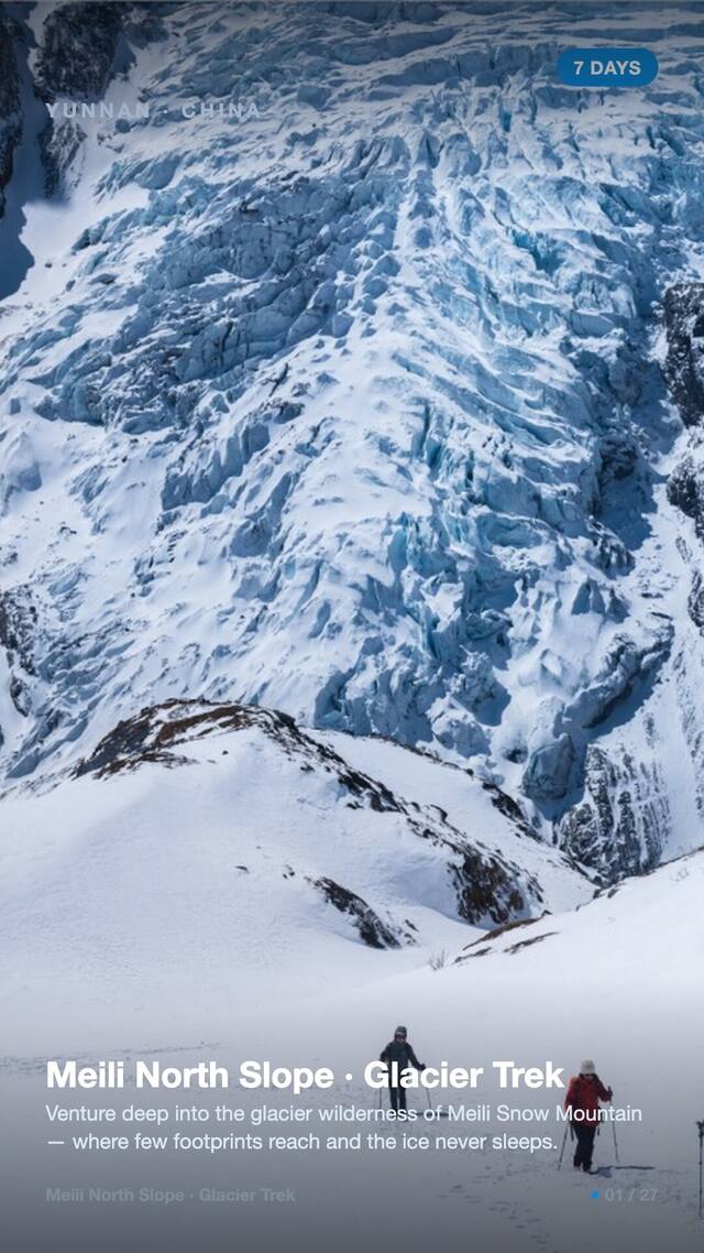
It is also a monsoon-soaked range, and that water shows on the ice. The nearby Mingyong Glacier is the lowest-latitude and lowest-elevation glacier in China — its snout near 2,700 metres at about 28.5°N — and it is retreating fast, by roughly 50 metres between 1994 and 2002 and around 200 metres by 2006. You feel that wetness as you walk: the mud, the cloud, the rain.
This summit has never been climbed, and that is by both reverence and law.
In January 1991 a joint Sino-Japanese expedition of seventeen — eleven members of the Japanese Academic Alpine Club of Kyoto and six Chinese climbers — attempted the first ascent over local objections. On the night of 3 January a massive avalanche buried the whole team. It remains one of the deadliest accidents in mountaineering history. Their gear was found in 1998, and over the years that followed the Mingyong Glacier gave up most of their remains, at around 3,700 to 3,800 metres — a slow, multi-year recovery rather than a single moment. A second attempt in 1996 also failed. In 2001 the local government settled the question for good, passing a law that bans all climbing of the peak on religious and cultural grounds.
Long before any of this, the West first glimpsed these gorges through the Austrian-American botanist-explorer Joseph Rock, who reached Lijiang in 1922 under the sponsorship of National Geographic and the Smithsonian, and whose 1926 article *Through the Great River Trenches of Asia* carried the image of this country outward.
To the Tibetans who live beneath it, Kawagarbo is not scenery. It is a living warrior deity — one of the holiest mountains in the Tibetan Buddhist world, the abode of the god whose name the mountain carries. Around 20,000 pilgrims a year walk the kora, a circuit of roughly 240 kilometres over high passes that takes about two weeks, and the pilgrimage is held most auspicious in the Year of the Sheep.
The mountains here are spoken of as a family. Local tradition honours the slender 6,054-metre peak nearby, Mianzimu, as the wife or consort of Kawagarbo, with Bujiong as their son; together the cluster is known as the Prince Thirteen Peaks. These are the stories the people tell, and they are the reason the summit is still untrodden.
Guides here ask the same of every trekker they take up: treat this mountain the way the people of the valley do — as something sacred you have been allowed to visit, not to claim.
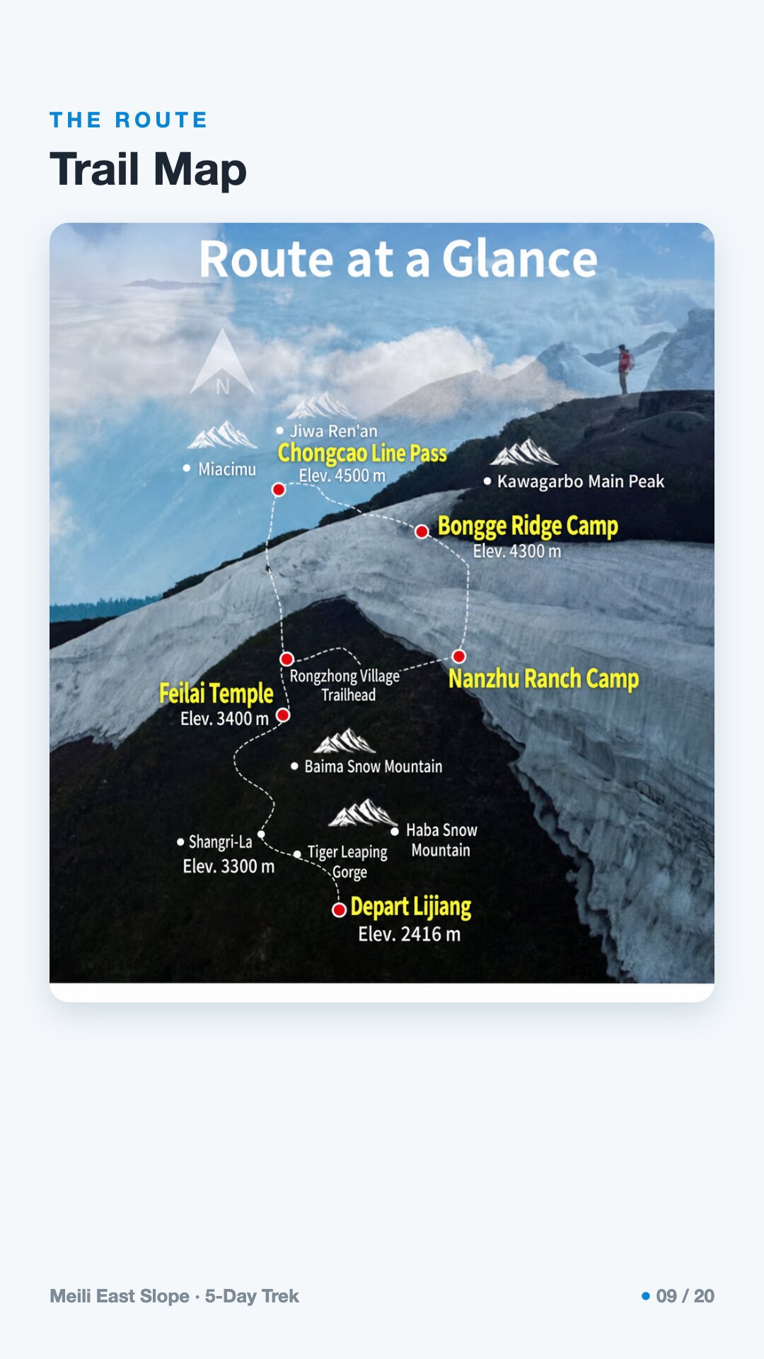
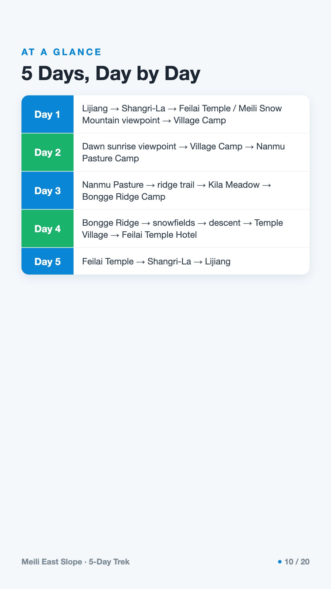
The trek opens gently and ends honestly. It begins at the famous viewpoint, where the comfort of a hotel still surrounds you, and it ends on a high ridge of snowfields where it does not. This is real camping wilderness — pastures, ridge meadows, snowfields — not the guesthouse ease of the better-known Yubeng walk. What tests you out here is altitude, mud and weather more than any single steep slope.
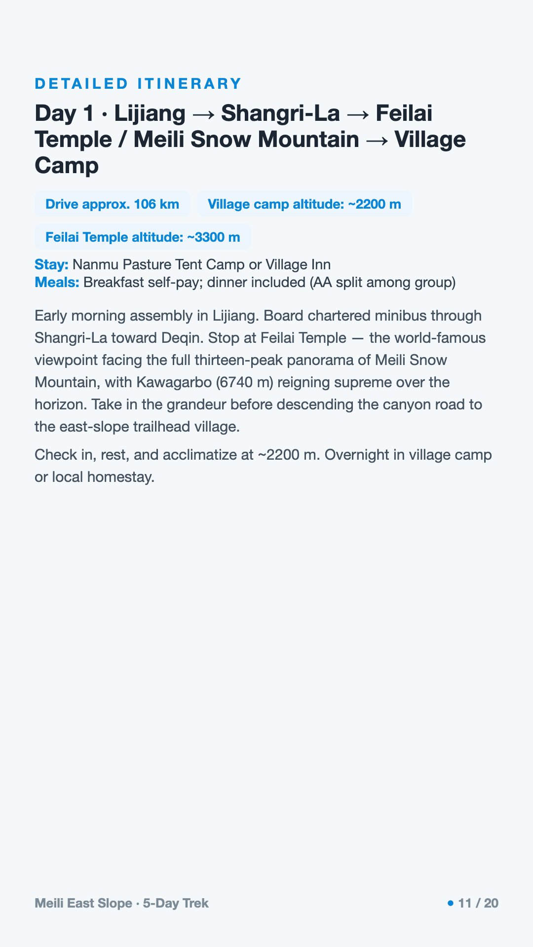
The day climbs by road through Shangri-La and up to Feilai Temple, the classic dawn viewpoint that faces Kawagarbo across the valley from about five kilometres away, before settling into the first village camp. It is a long day of gaining height — good for letting your body begin to meet the thin air.
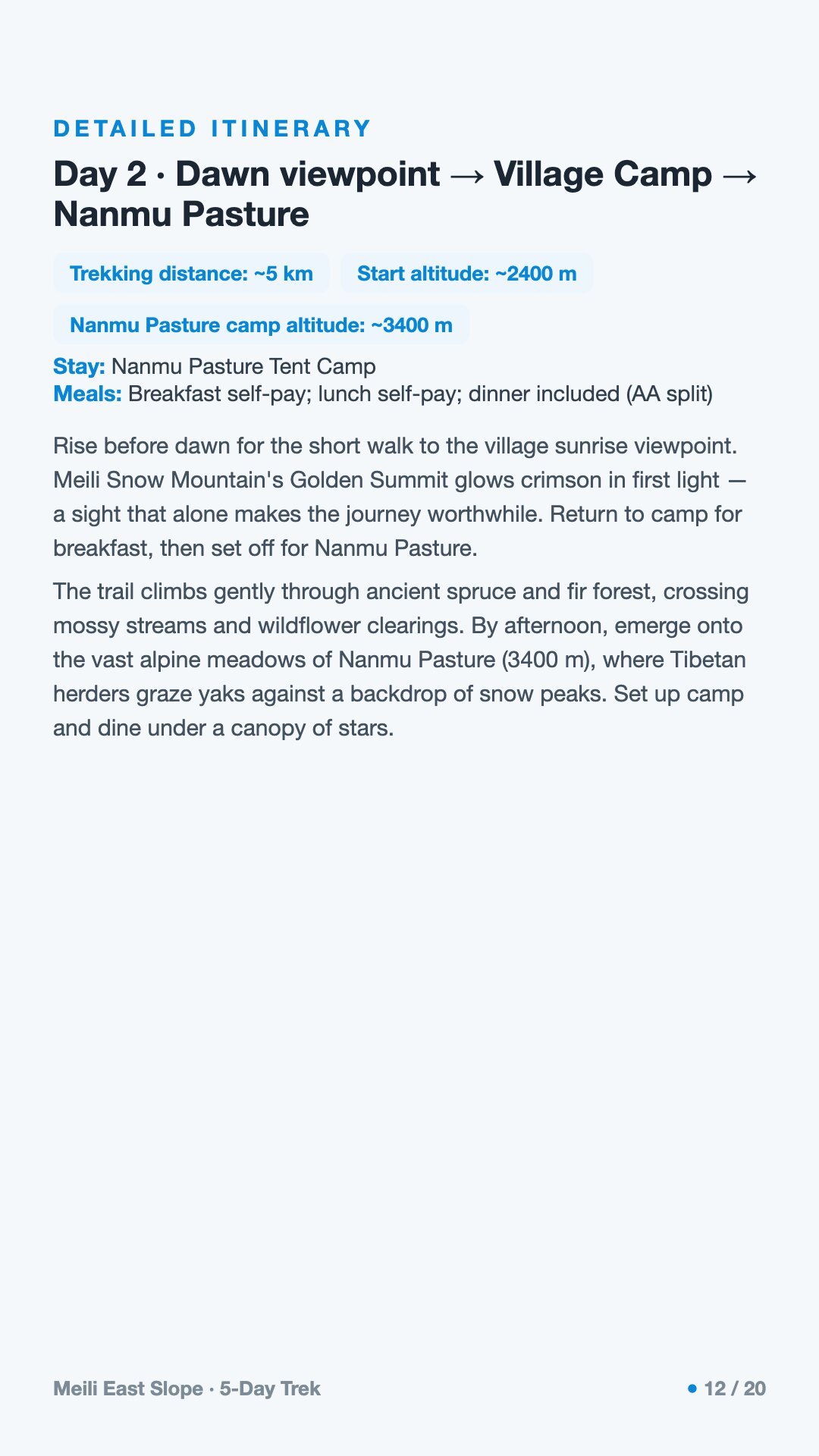
Before light comes the wait at the viewpoint. If the famously fickle clouds part, the first sun sets the whole peak group glowing gold — the *日照金山* — for about twenty minutes, no longer. Then the route leaves the crowds behind and climbs into the quiet of Nanmu Pasture to camp.
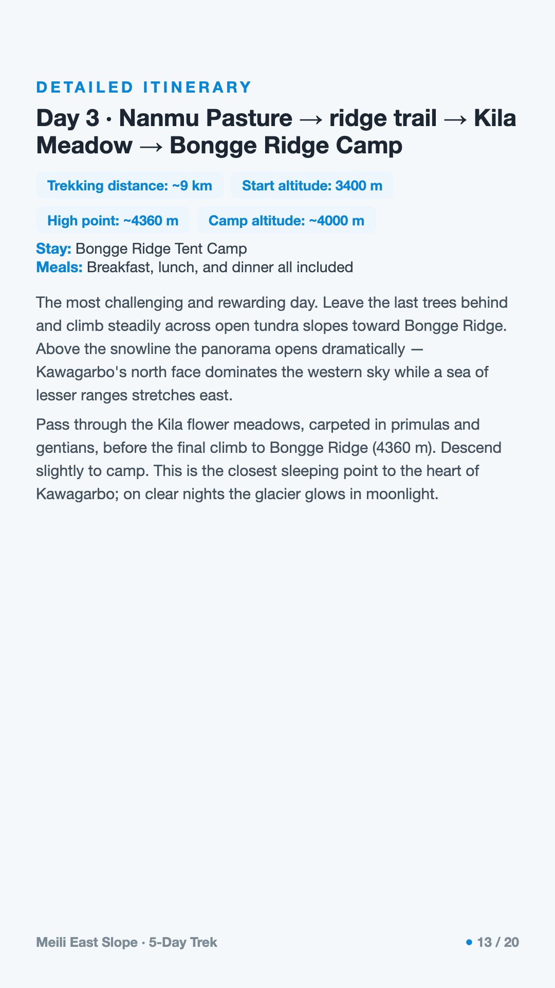
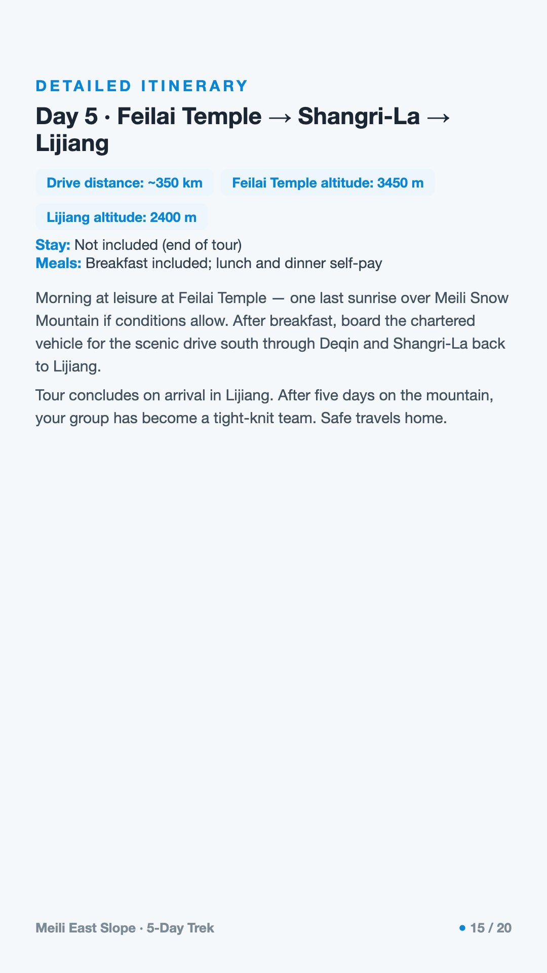
The heart of the route. The ridge trail runs through Kila Meadow and on to the high camp at Bongge Ridge, somewhere near the 3,500–4,000 metre band, where the evening air is sharp and the silence is total.
The highest, fullest day — out across snowfields, then a long descent down toward Temple Village and back to a hotel bed at Feilai Temple. Knees and weather both earn their keep today.
The road home, retracing the height gained, with one last chance at a clear morning over the peak before you turn away.
Will I actually see Kawagarbo? Maybe. The peak is famous for hiding in cloud, and even the celebrated golden sunrise is a matter of luck — twenty minutes of light if the sky opens at all. Come hoping, not expecting. Many trekkers get one good morning across five days.
How high do we go, and will the altitude affect me? The camps and passes top out around 4,000 metres. At that height most people feel the thin air — slower breath, lighter sleep, a duller appetite. The cure is to climb slowly and acclimatize first in Shangri-La and Deqin. Tell your guide honestly how you feel; altitude is to be managed, not toughed out.
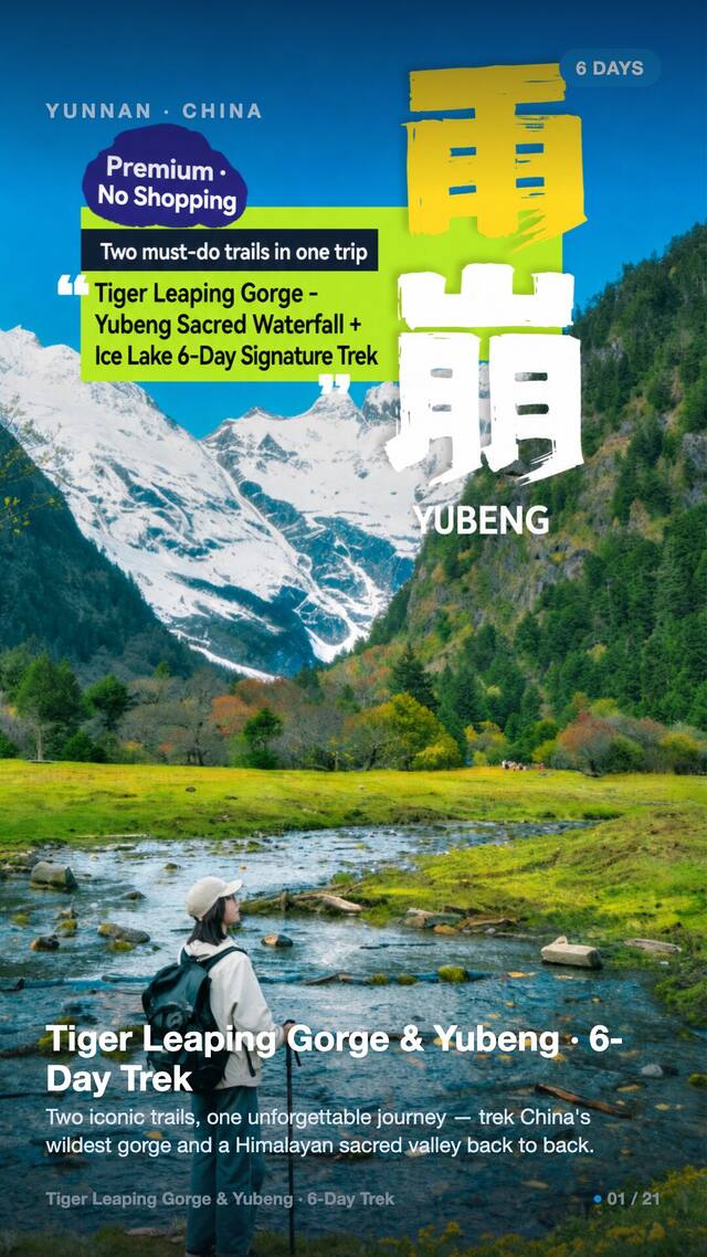
How is this different from the Yubeng trek? Yubeng is the better-known walk, with village guesthouses along the way. The East Slope is genuine camping wilderness — pastures, ridges and snowfields, nights in tents, no comforts to fall back on. It is quieter, wilder and harder.
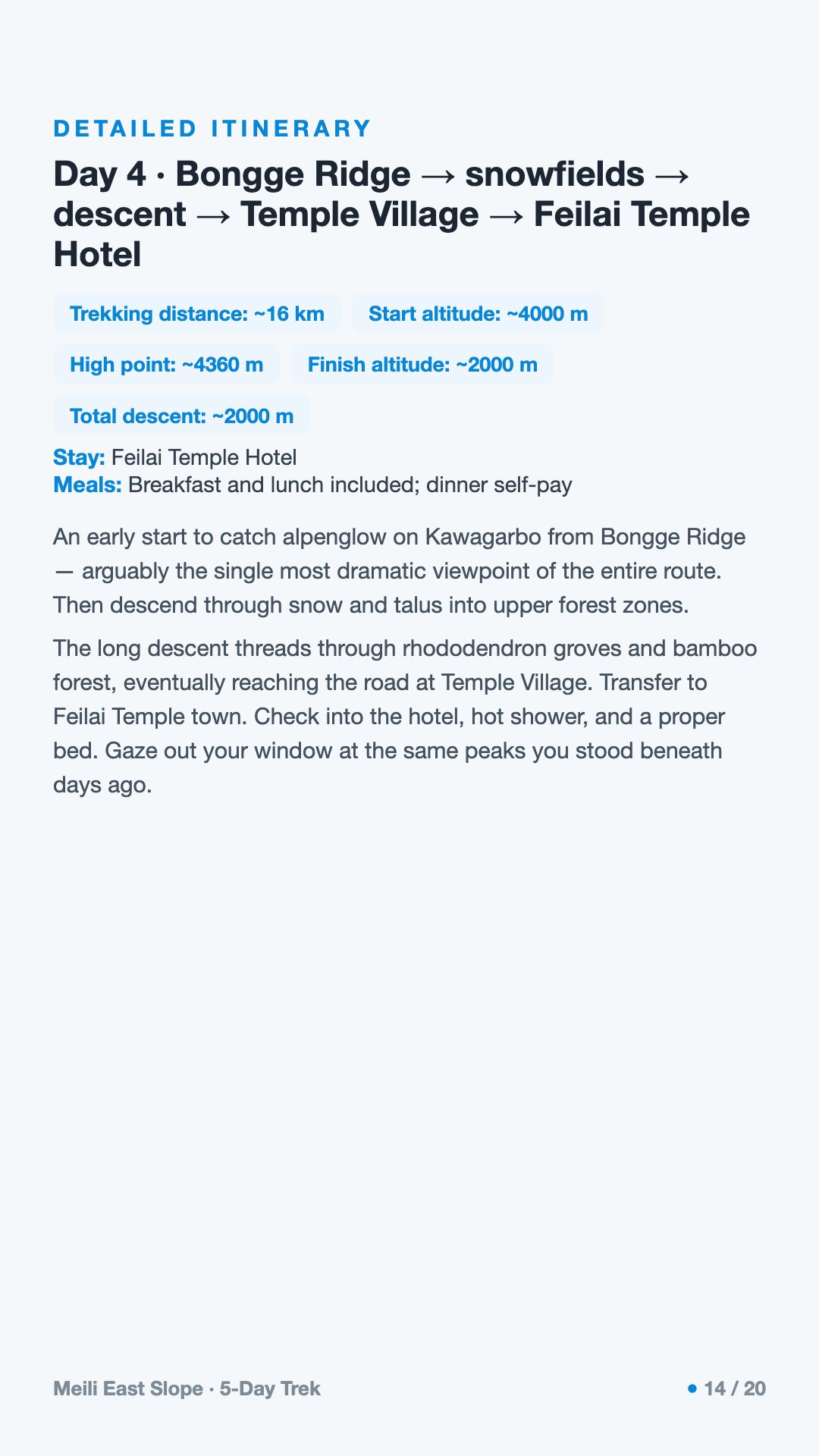
What's the camping like? Tent camps at pasture and ridge sites, at altitude, often damp. Nights are cold even in summer, and the range is monsoon-soaked, so rain and mud are part of the experience. Good waterproofs, a warm sleeping system and broken-in boots matter more here than anywhere.
Do I need to worry about the weather more than the trail? Yes. On this route, mud, rain and altitude test you more than the terrain does. A clear day is a gift; a wet one is normal. Pack and pace yourself for the weather, and the walking takes care of itself.
Is there anything I should know about local customs? This is a sacred mountain to the Tibetan people who live beneath it. Walk respectfully, follow your guide's lead at viewpoints and shrines, don't disturb prayer flags or cairns, and remember you are a guest looking up at a deity — not a climber here to conquer a peak.