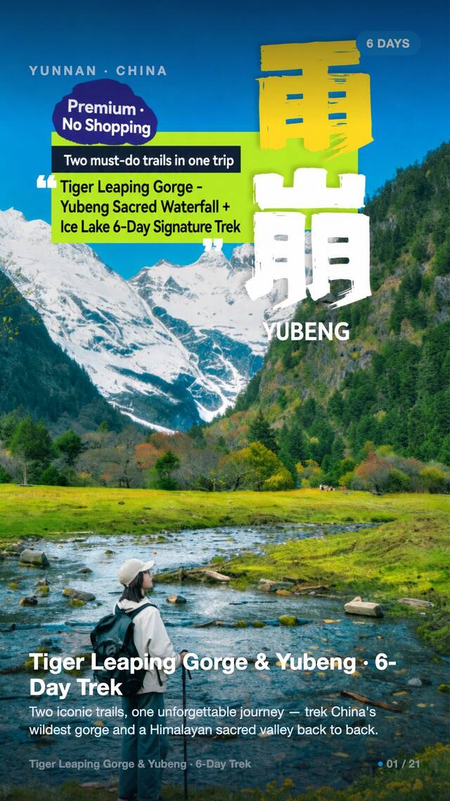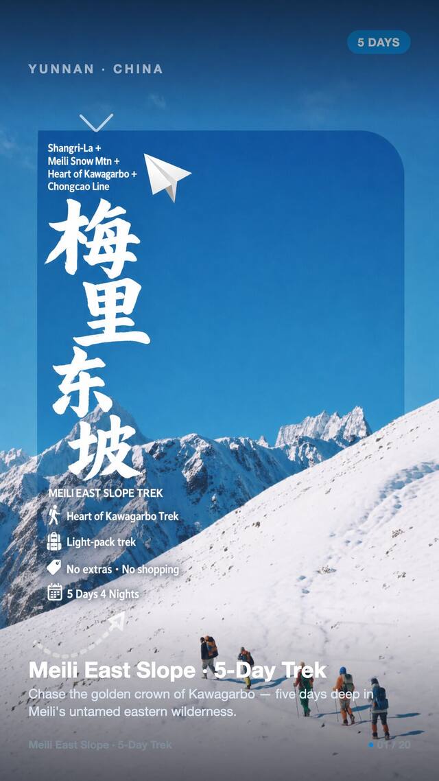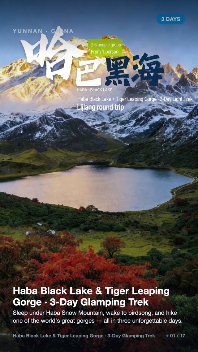

Meili North Slope Glacier, Yunnan · 7 days / 6 nights · Strenuous (5/5) · glacier camping · max ~4,200 m · $152/day · $1,065 total per person
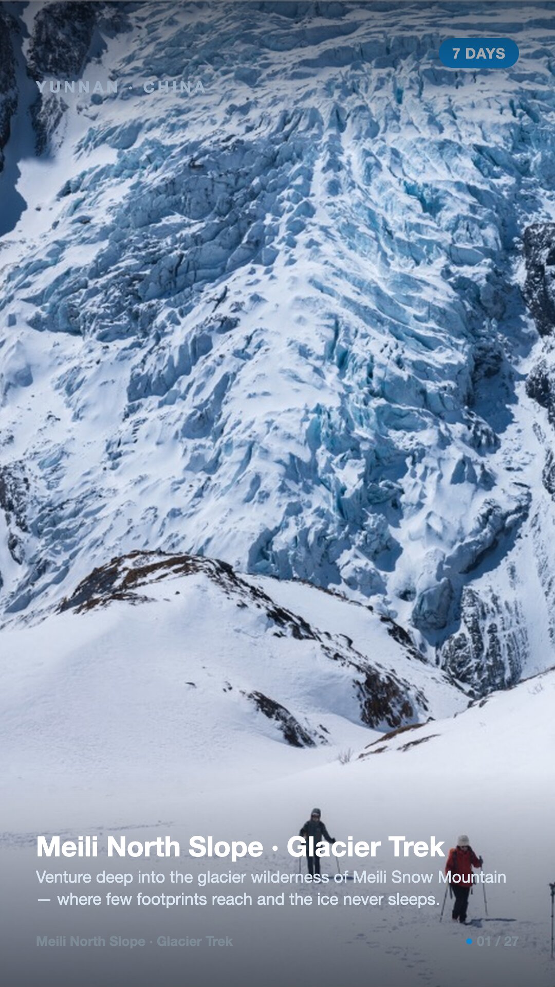
Venture deep into the glacier wilderness of Meili Snow Mountain — where few footprints reach and the ice never sleeps.
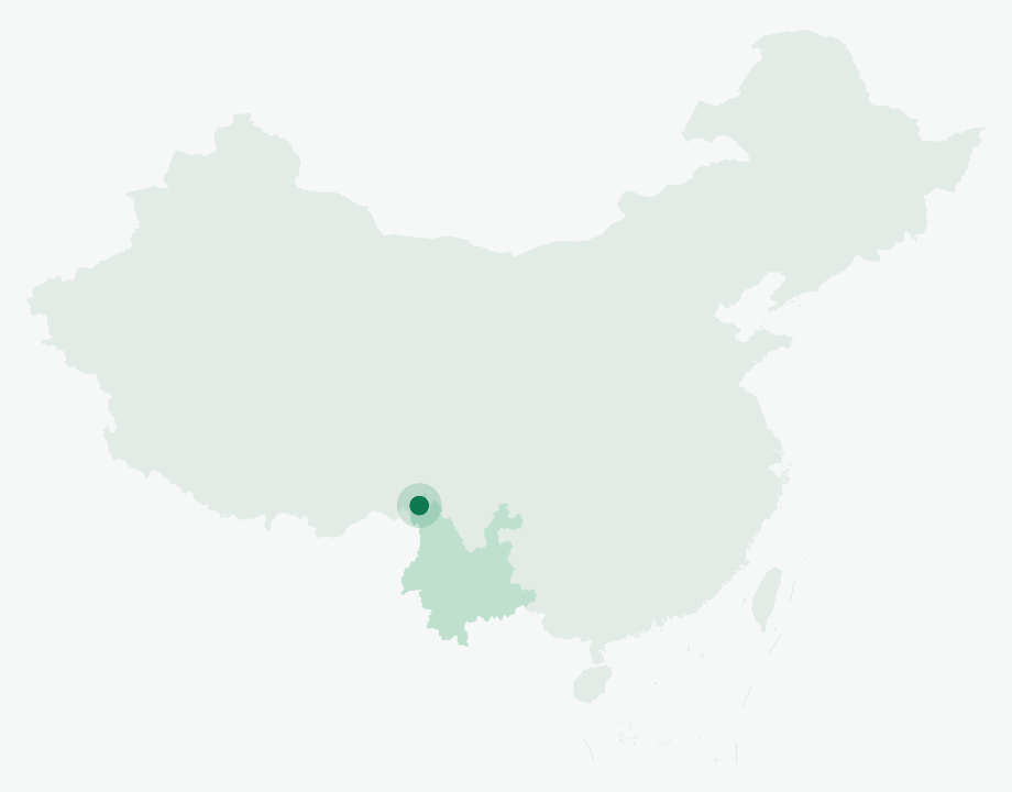
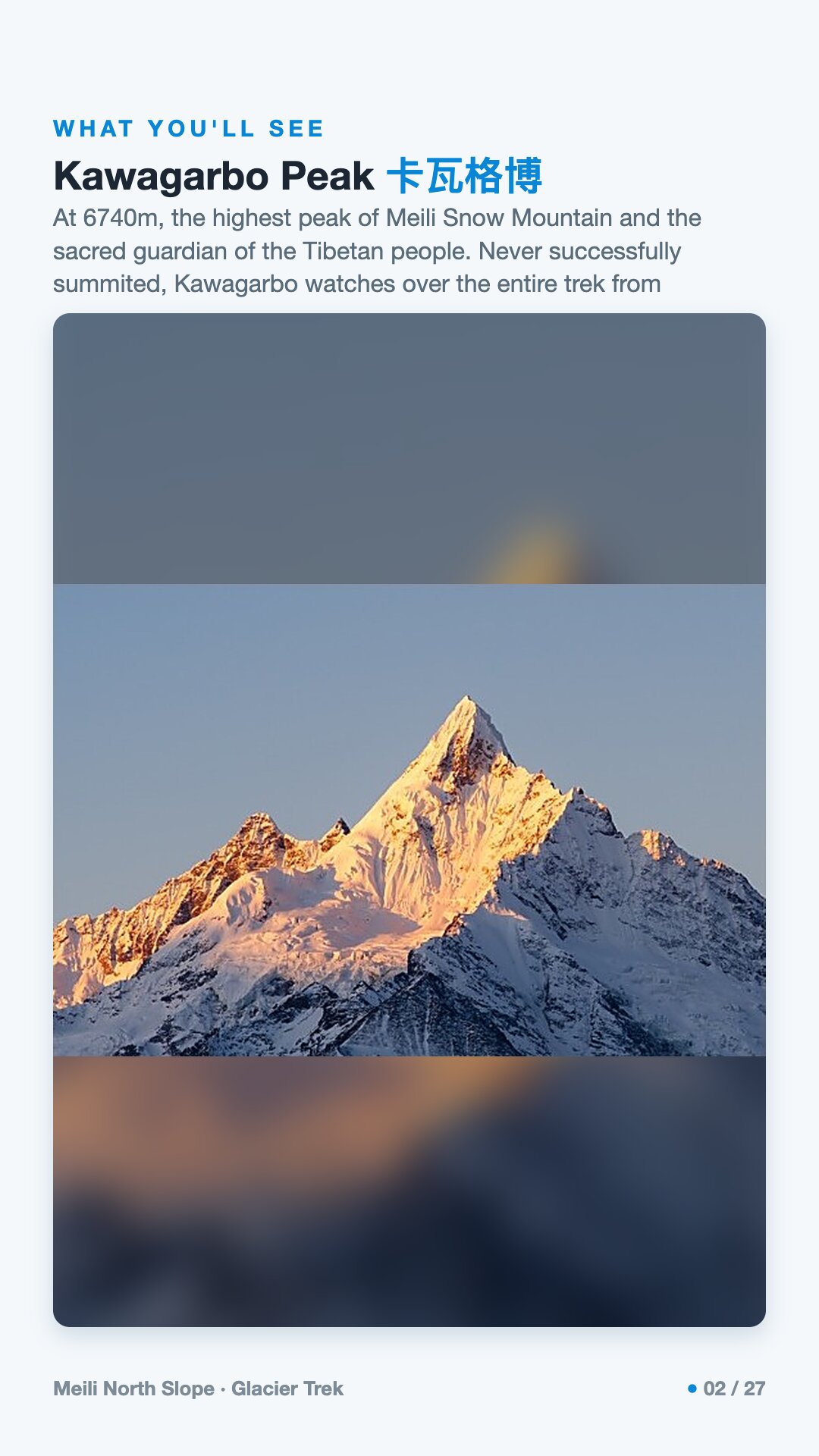
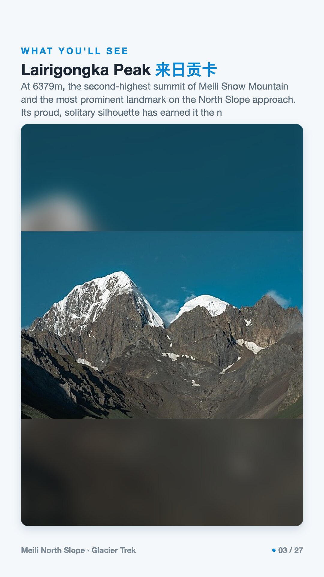
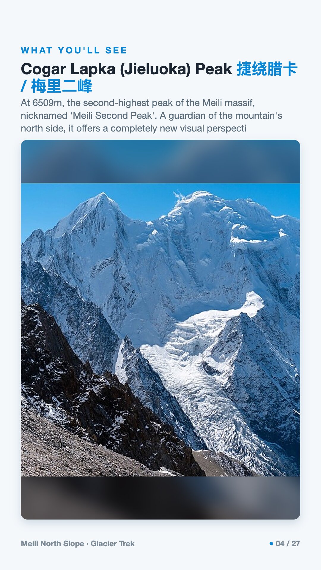
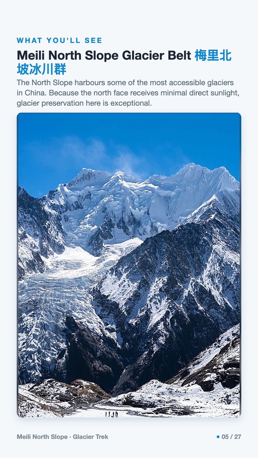
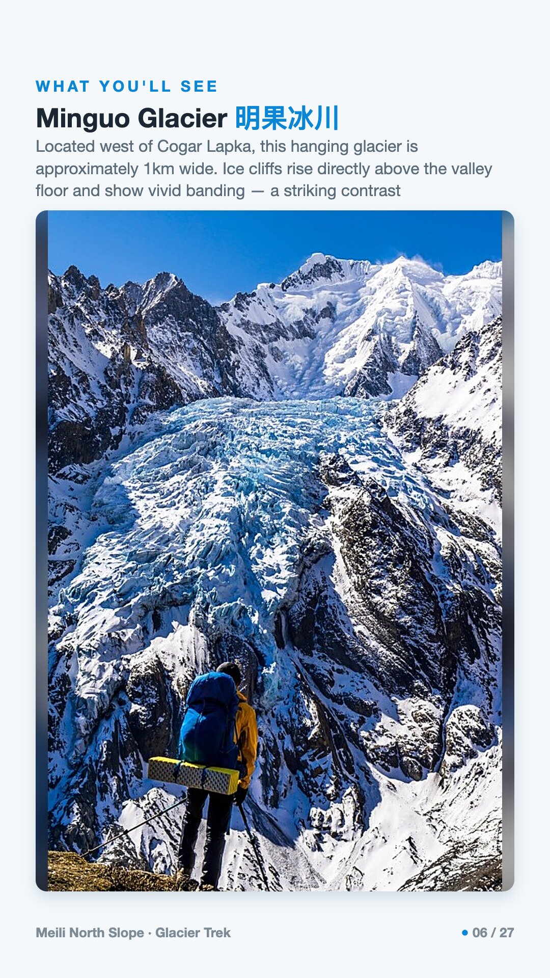
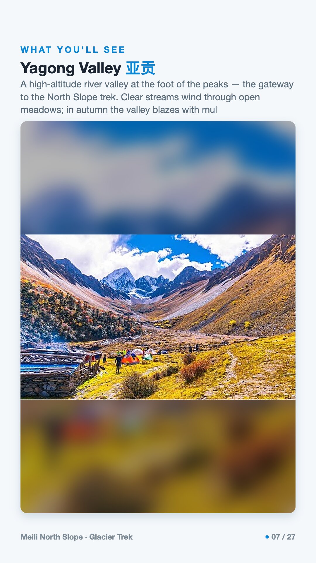
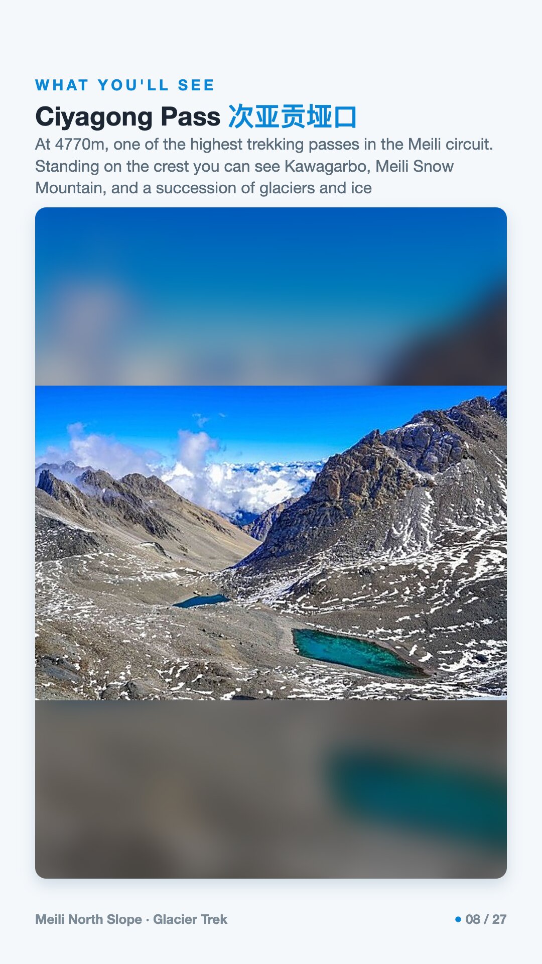
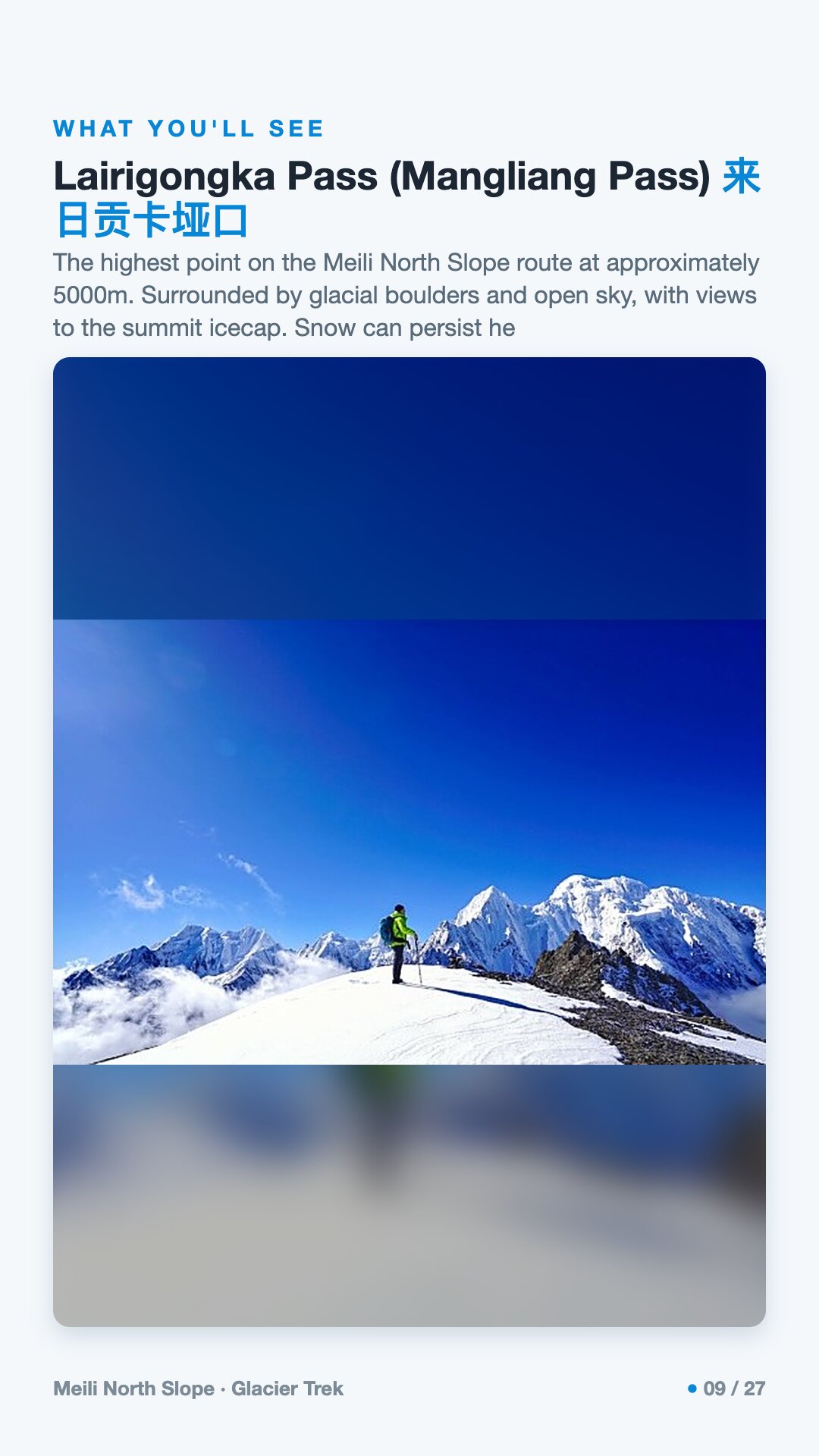
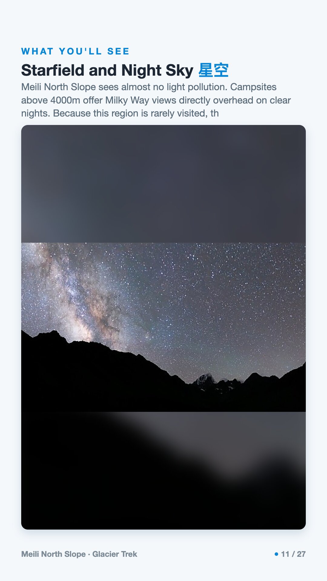
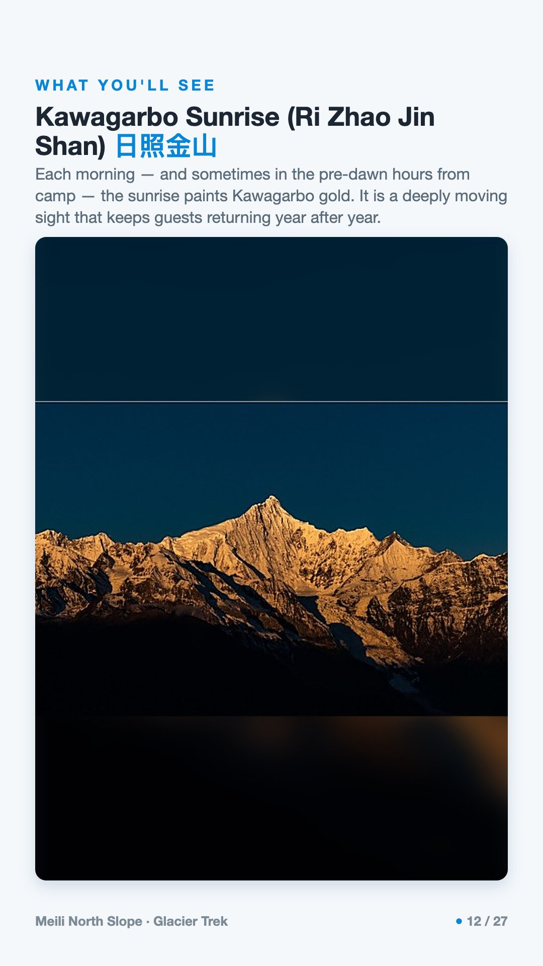
Meili Snow Mountain rises above Deqin in Yunnan, in south-west China, and its highest summit, Kawagarbo at 6,740 m, is sacred to Tibetans and has never been successfully climbed. Most people see the range from the south; this trek works the north face, which takes little direct sun and so holds its ice well. Blue glaciers spill from above 6,000 m, and the Minguo Glacier hangs a kilometre wide over the valley, its banded cliffs retreating. The walking is short but steep. Days on foot run 6 to 11 km, yet the biggest day on the hill logs 11 km and 1,400 m of ascent, climbing from Yagong village through forest and bamboo, and the crux is the ascent to Ciyagong Pass at 4,770 m, where crampons and poles are essential. Every mountain night is under canvas, the highest camps at 4,100 and 4,200 m. The grade is strenuous; the fitness bar is 10–15 km a day with 500–700 m of ascent carrying a daypack, though no mountaineering experience is needed and a horse and porter team moves the heavy gear. One camp sits beneath the north-slope ice wall in a moraine amphitheatre; another is a bowl by the Lairigongka glacier where a glacial lake takes the peaks at sunset and few trekkers arrive. Light pollution is almost nil, so the Milky Way sits overhead on clear nights, and from the Feilai Temple camp, which faces Kawagarbo directly, a clear dawn turns the summit gold. The season is late May to August, groups run two to eight, and camping is fully supported: tents, pads, crampons, gaiters and poles provided, hot meals cooked in the field, oxygen carried, a doctor checking everyone daily. It suits fit walkers who want ice, cold nights and empty ground rather than a bed each night.
Meili North Slope runs 7 days / 6 nights.
It's rated Strenuous (5/5) · glacier camping, topping out around ~4,200 m. Reasonable hiking fitness and time to acclimatize to altitude are recommended.
The high point is around ~4,200 m. Acclimatize gradually and take altitude-sickness precautions — consult your doctor before any high-altitude trek.
The best seasons are Late May–Aug.
English-speaking guide on request · or local guide + Inglite app for English support It's run by an independent, licensed local mountain operator, with Inglite supporting you in English the whole way.
Approximately $1065 per person ($152/day · $1,065 total). You arrange payment directly with the licensed local operator — Inglite never collects payment.
Key items: Waterproof hiking boots with ankle support, broken in before departure., Sleeping bag rated to at least -10°C / 14°F., Down jacket or heavy insulated layer., Waterproof outer shell jacket and trousers., Moisture-wicking base layers, top and bottom., Fleece mid-layer., Sun hat, plus a warm beanie or balaclava., Glacier sunglasses or goggles, UV400 minimum..
Operated by an independent, licensed local mountain operator in Yunnan. Inglite connects you and supports you in English the whole way; you arrange payment with the operator directly.
Run by an independent, licensed local operator. You arrange payment with the operator directly — Inglite connects you and never collects payment. Outdoor travel carries inherent risks; travel insurance with high-altitude and evacuation cover is required. Booking & refunds · Terms
— or send a request below —
✅ Request received! Reference
We reply within 24h. Fastest: message us on WhatsApp and mention your reference.
Chat on WhatsAppFor seven days I walk in the shadow of a mountain no one has ever climbed. Kawagarbo — 6,740 metres, the highest peak in Yunnan — rises above me, and I am not here to conquer it. No one is. This is the North Slope, the "Pojun" route: not the famous pilgrim road, not a scenic park, but the muddy harvest paths of matsutake and caterpillar-fungus families. It is genuinely hard, a true five-out-of-five — roughly 50 kilometres, nearly 4,650 metres of climbing, glacier moraine for a bed, a high point well over 4,000 metres. I come in summer, late May to August, because that is when the trail is walkable. It moves me because so little here yields to me: the mountain hides in cloud far more than it shows, and the longer I walk, the more I understand that this is exactly the point.
The Meili Snow Mountains stand wedged between two great rivers — the Mekong (Lancang) to the east and the Salween (Nujiang) to the west — within the Three Parallel Rivers UNESCO World Heritage Site, inscribed in July 2003. The protected area spans some 1.7 million hectares, holds more than 118 peaks above 5,000 metres, and ranges in elevation from around 760 metres in the gorges to Kawagarbo's 6,740. UNESCO calls it the most biologically diverse temperate region on earth, and after a single day climbing from forest into moraine, that is easy to believe.
Kawagarbo itself — 6,740.1 metres, with a prominence of 2,232 metres — is the highest mountain in Yunnan, straddling the border of Deqin County. From the range spills the Mingyong Glacier on the south face: monsoonal, temperate, fast-moving, almost 12 kilometres long, its terminus reaching down to around 2,700 metres. It is one of the lowest-latitude, lowest-elevation glaciers in all of China, and it is retreating quickly. Reported figures vary by period and method, but every account points the same direction — the ice is going. Here, you can watch the climate change in real time.
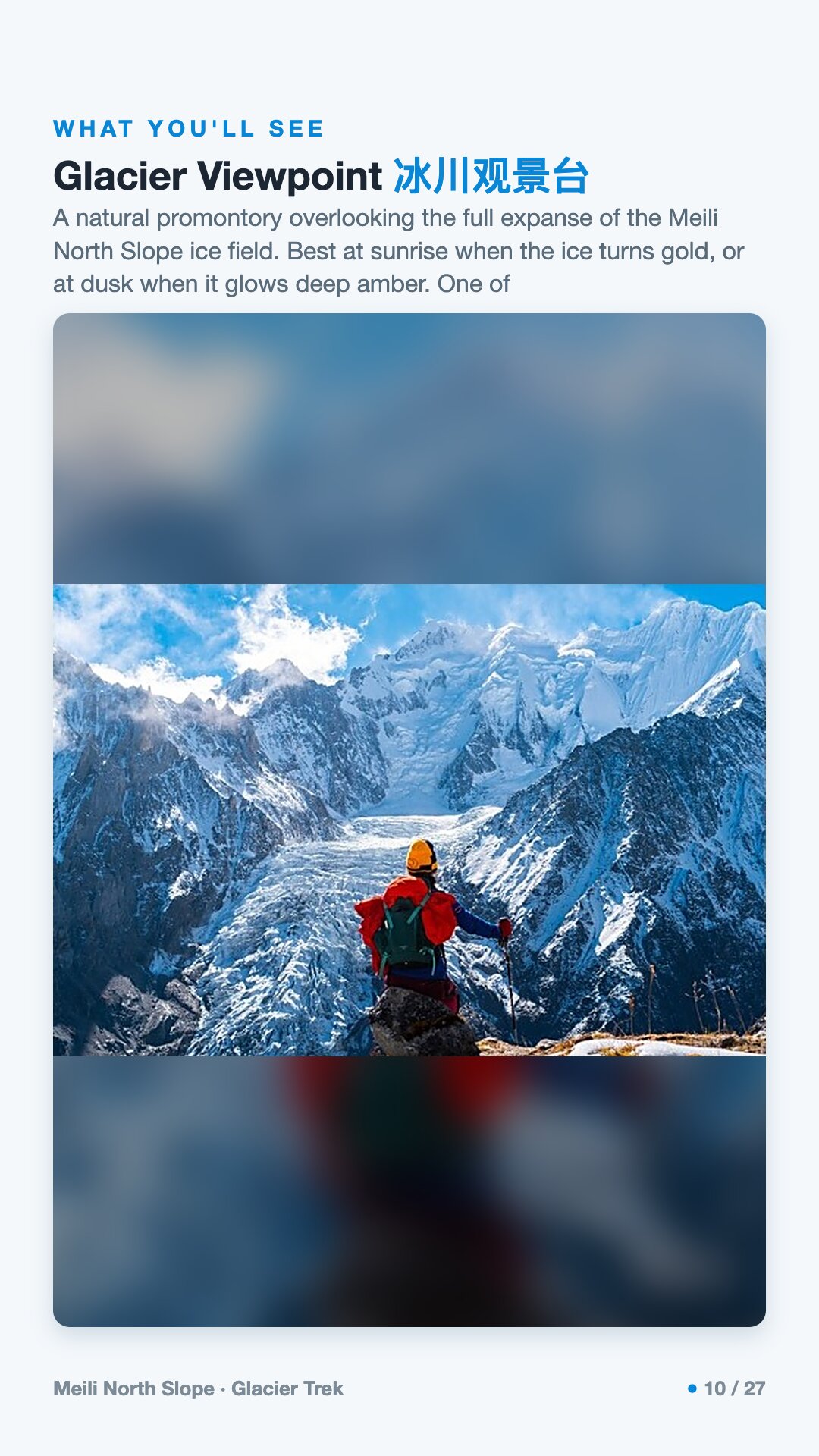
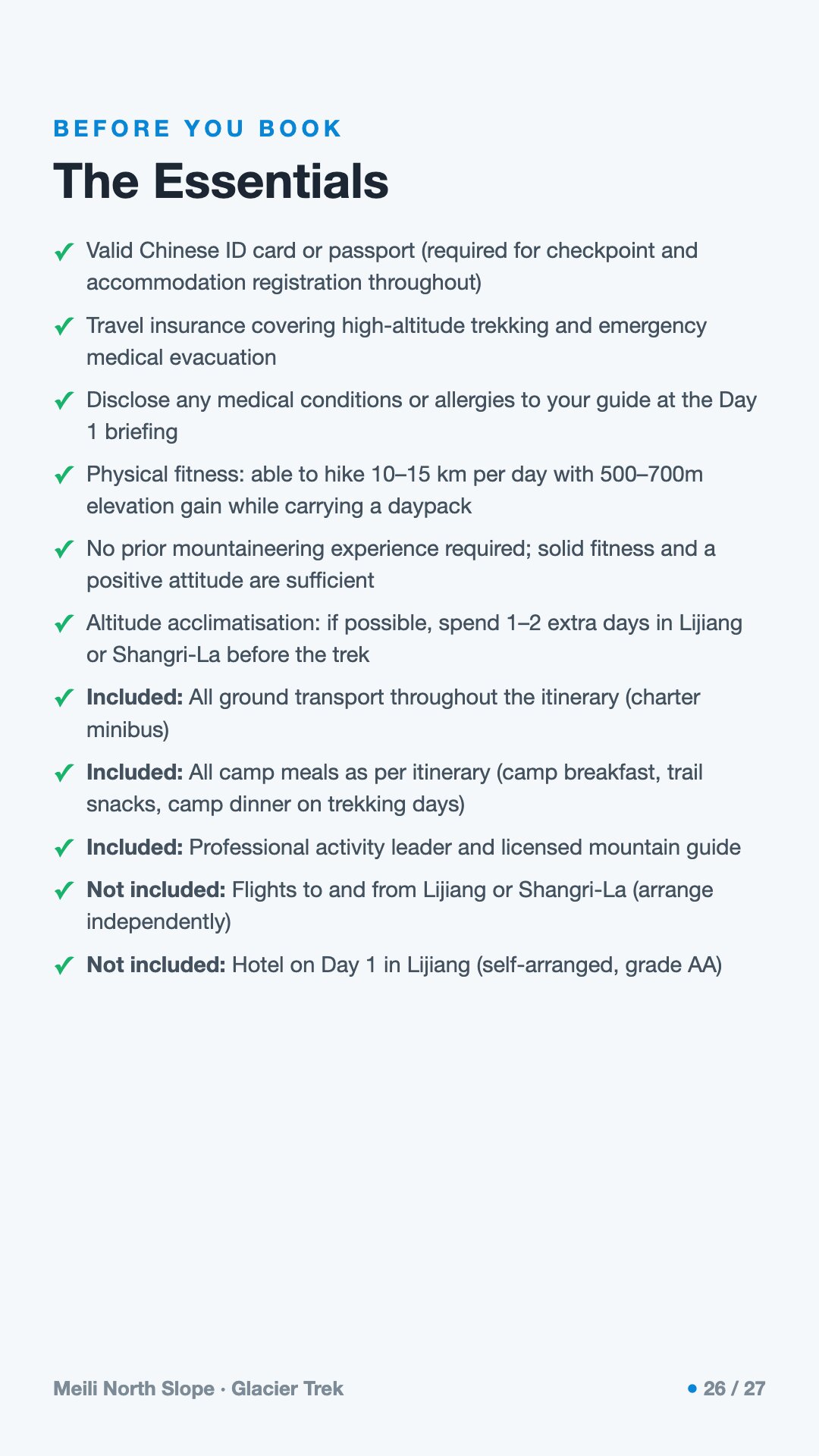
On the North Slope I face a different ice: a hanging, pale-blue glacier below a wall of three peaks over 6,000 metres. The camps climb to places like Pojun at about 4,120 metres, where the Tibetan name means "the valley where immortals live."
Kawagarbo has never been summited, and that is no accident of difficulty alone. In 1987 a joint expedition made a first reconnaissance. Then, on the night of 3 January 1991, an avalanche struck Camp Three — set at roughly 5,100 metres — and killed all seventeen members of the Sino-Japanese team: eleven Japanese climbers from the Academic Alpine Club of Kyoto University (京都大学学士山岳会), led by the 45-year-old Jiro Inoue, together with six Chinese members. It remains one of the worst single disasters in modern mountaineering. Ten bodies were found first; the rest emerged over years, sixteen of the seventeen eventually recovered in 1998 on the Mingyong Glacier at around 3,700 to 3,800 metres, carried down by the moving ice. One man, the doctor Hisanobu Shimizu (清水久信), was never found. The Kyoto club returned to attempt the peak again in 1996.
In 2001, local-government laws banned all future climbing on cultural and religious grounds. So Kawagarbo stays, by law and by faith, untouched — the most prominent and best-known of China's legally protected sacred peaks.
To the Tibetans who live around it, Kawagarbo is not a summit to be claimed but a living being — the spiritual home of a warrior protector deity of the same name, Kawagebo, and one of the most sacred mountains in all of Tibetan Buddhism. When the 1991 expedition died, many locals interpreted the loss as the anger of the gods at the intrusion. To walk here is to walk through someone's faith.
That faith is not abstract; it has feet. Each year some twenty thousand pilgrims walk the outer kora around the mountain — roughly 240 kilometres (some sources say closer to 250, over eight to ten days) — circling the peak rather than climbing it. The North Slope itself is no temple route; it is the working land of village families who climb these slopes to harvest matsutake mushrooms and caterpillar fungus. Since 2024 the village of Yagong requires every hiker to travel with a local guide — a rule that fits both the danger of the terrain and the simple courtesy of being led through a place that belongs to others.
The walking is hard in the honest way: long climbs through slick, dripping forest, mud underfoot, leeches in the wet months (the locals carry salt for them), then the cold mineral world of moraine where you sleep beside the ice. The reward is not a clear postcard summit — summer trades that away. The reward is access, solitude, and the rare privilege of standing close to a glacier almost no one reaches.
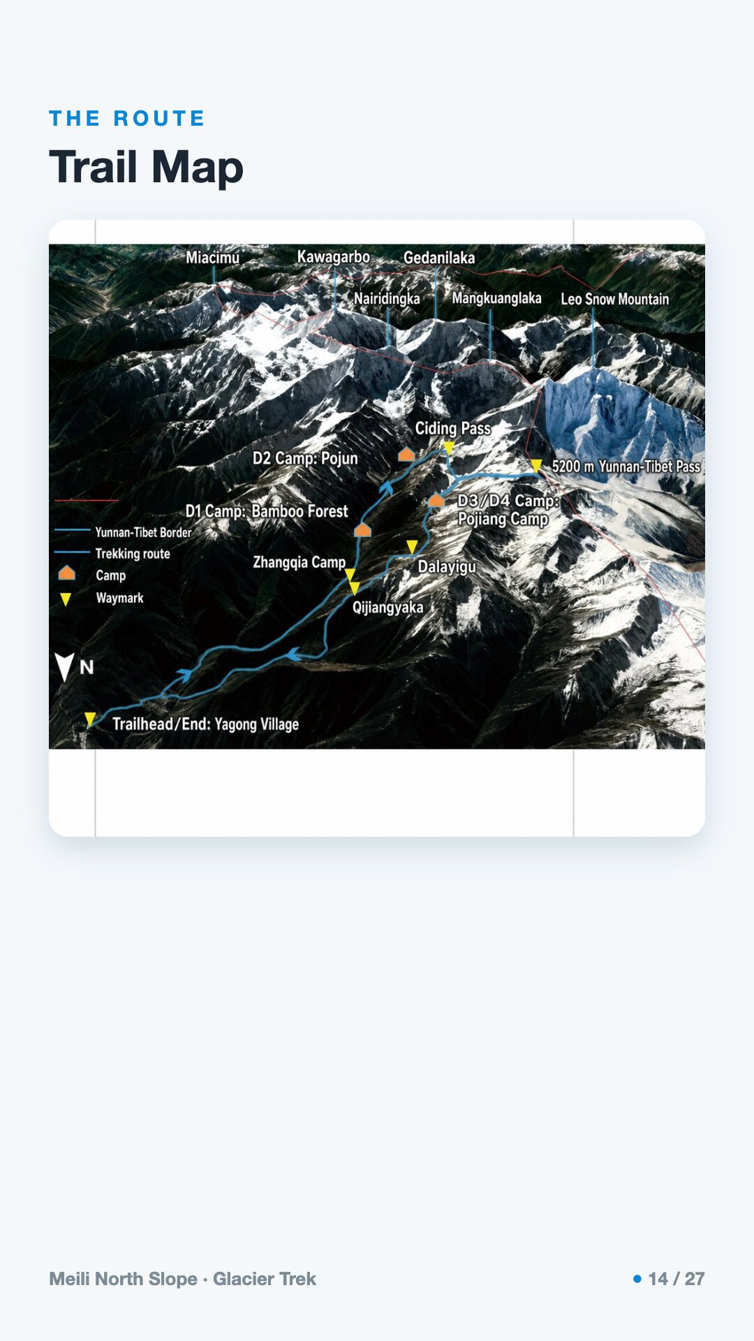
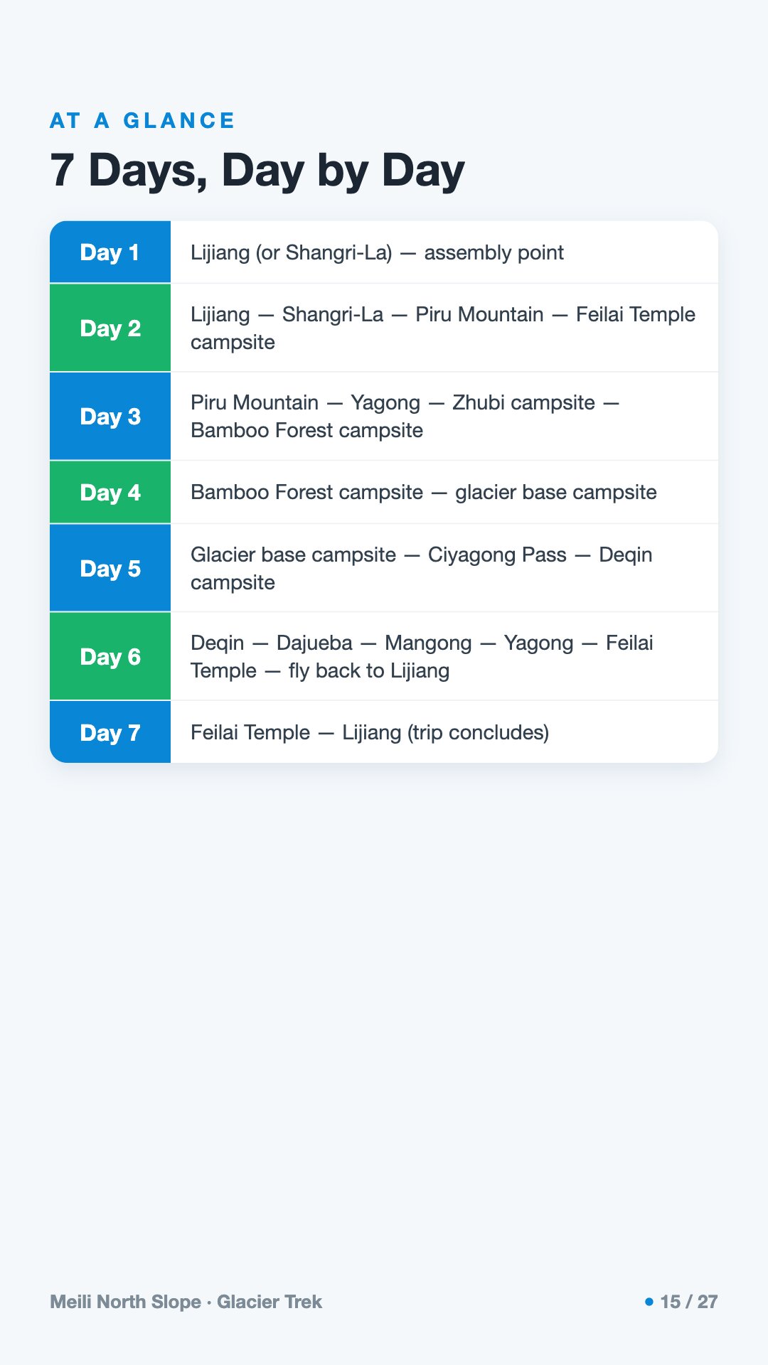
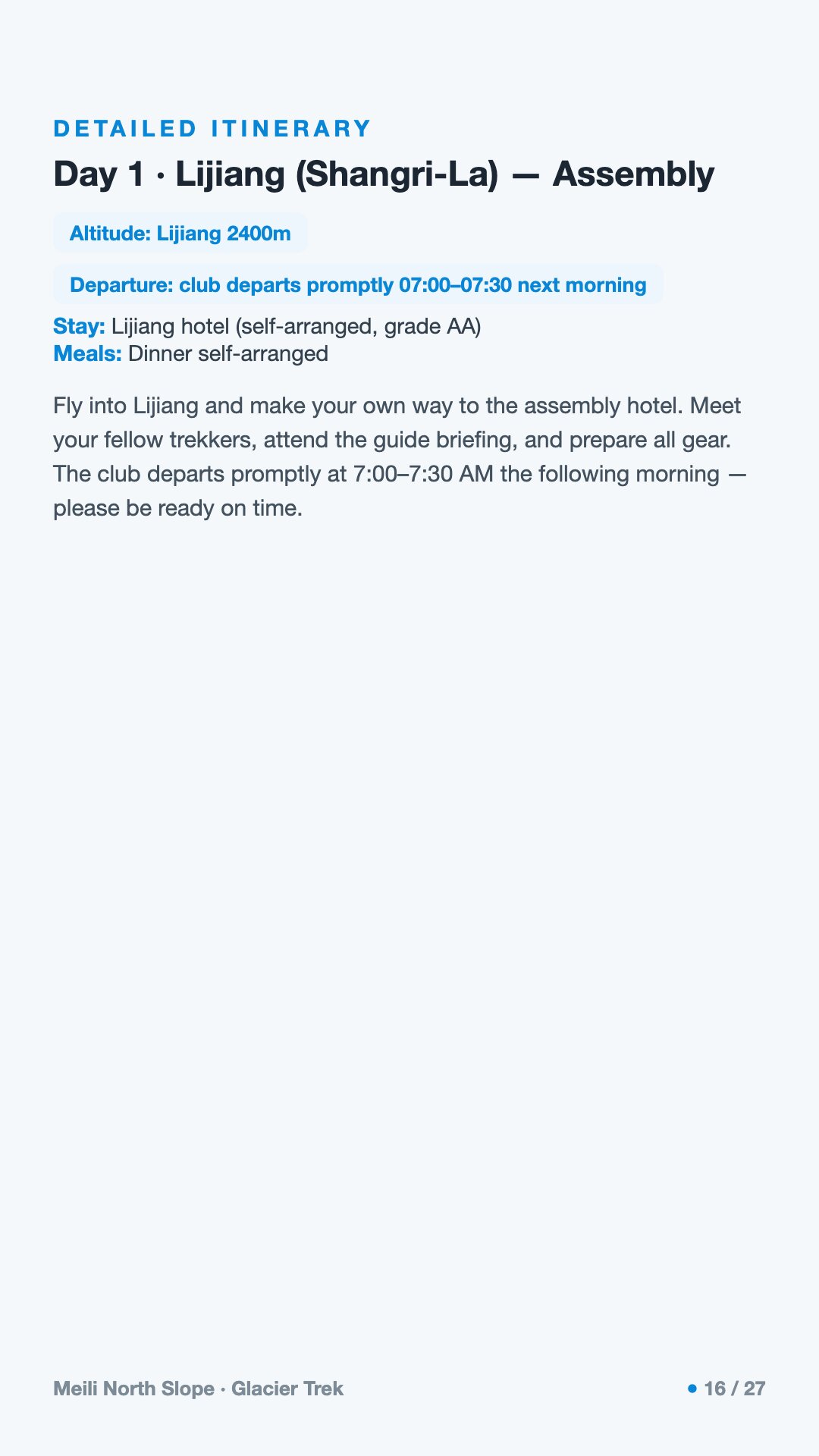
I arrive and gather at altitude already climbing, meeting the people I'll spend a week of weather and effort with.
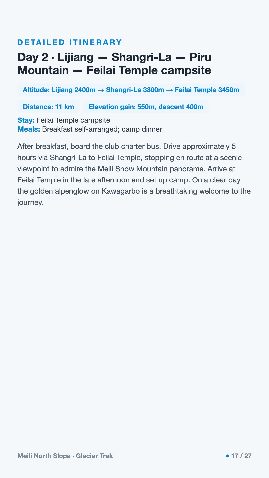
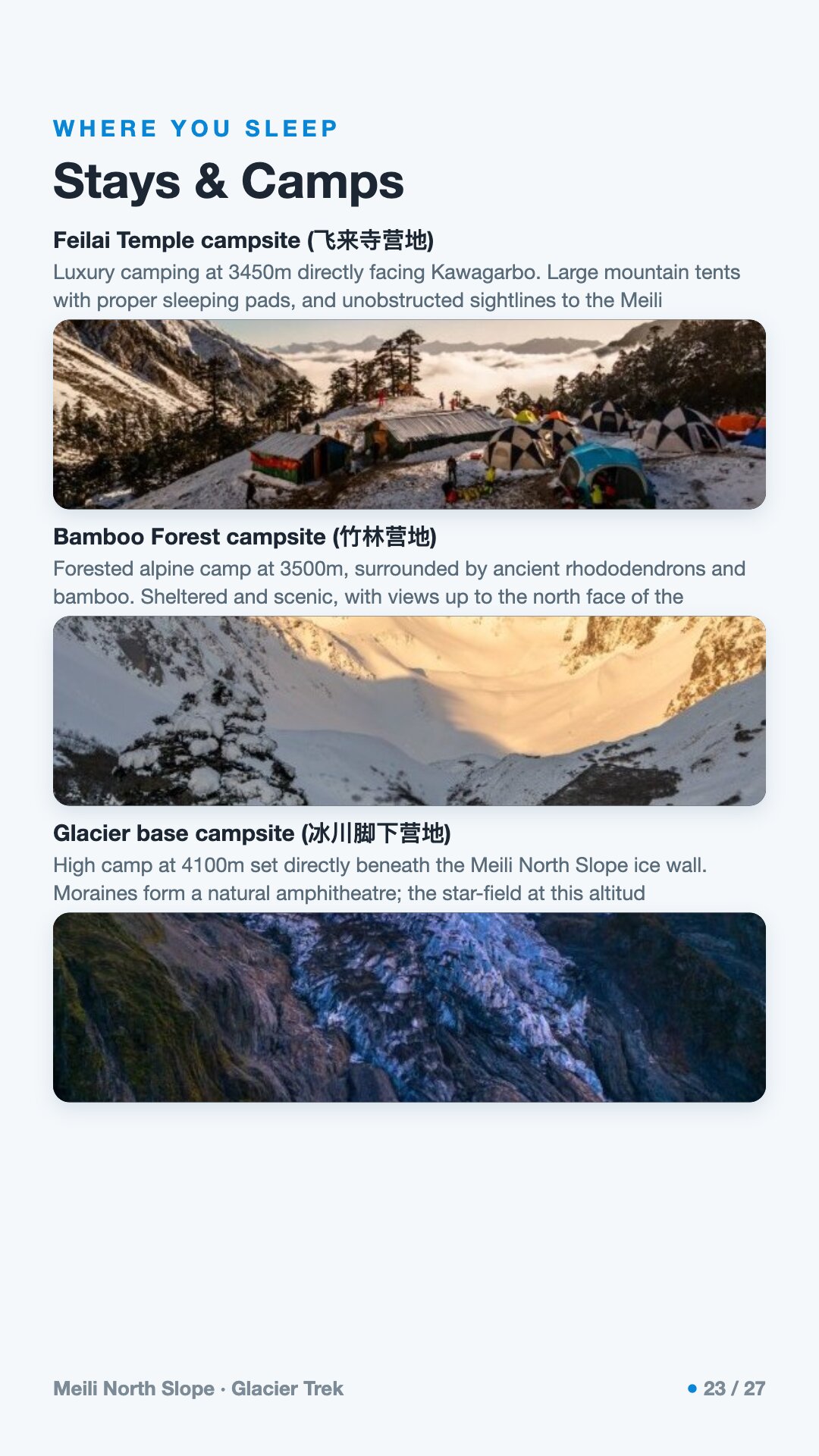
A long transfer deeper into the mountains, ending at the Feilai Temple campsite, the famous viewpoint that faces Kawagarbo across the valley.
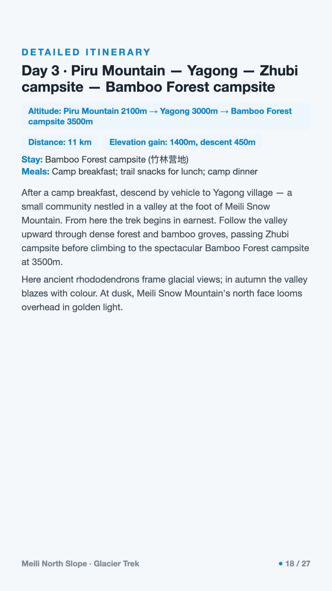
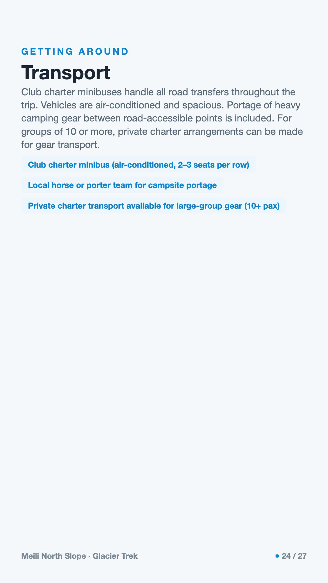
We pass through Yagong village — the true trailhead — and climb into forest, camping among bamboo as the path narrows to a working trail.
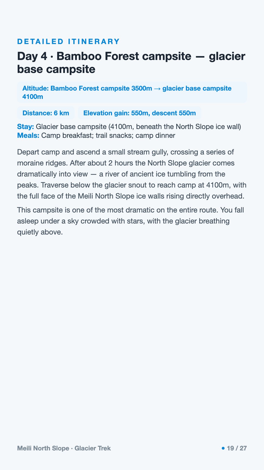
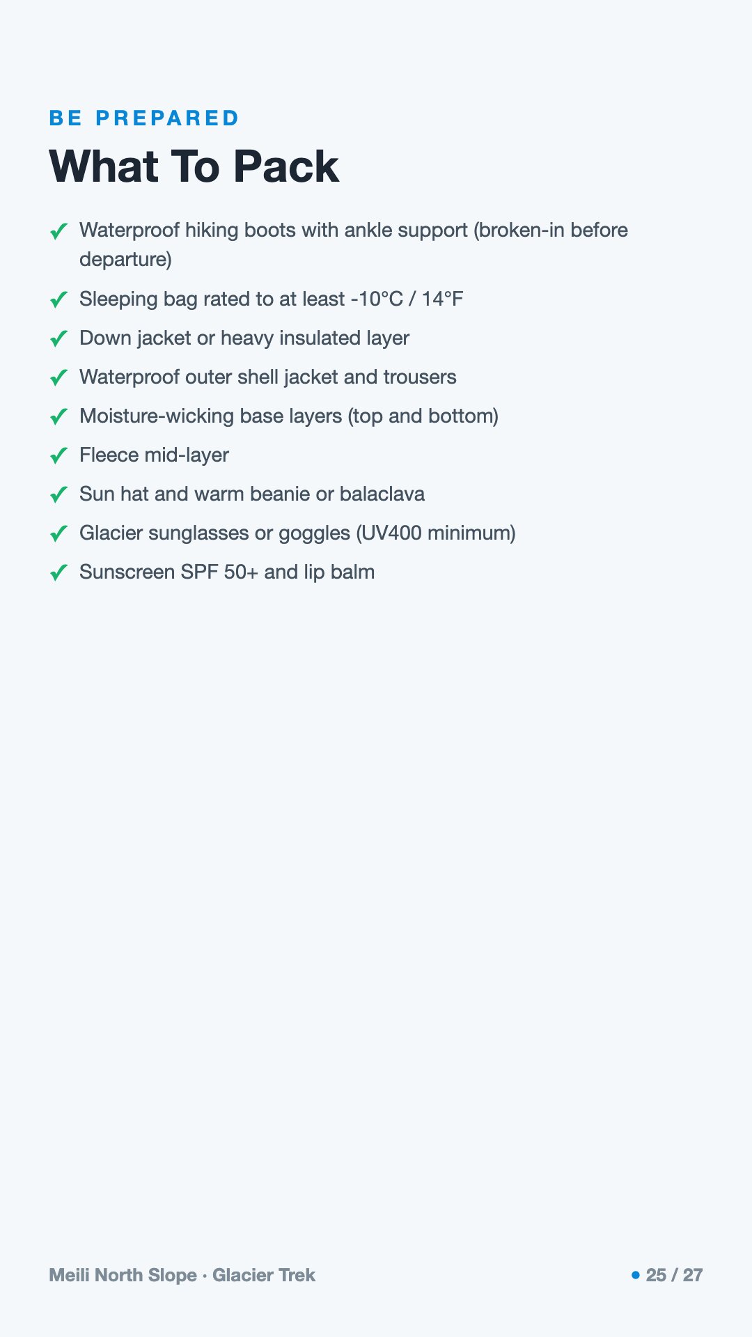
The hardest kind of beauty: climbing out of the trees toward the glacier base camp on the moraine, the pale-blue ice and its wall of 6,000-metre peaks coming into view.
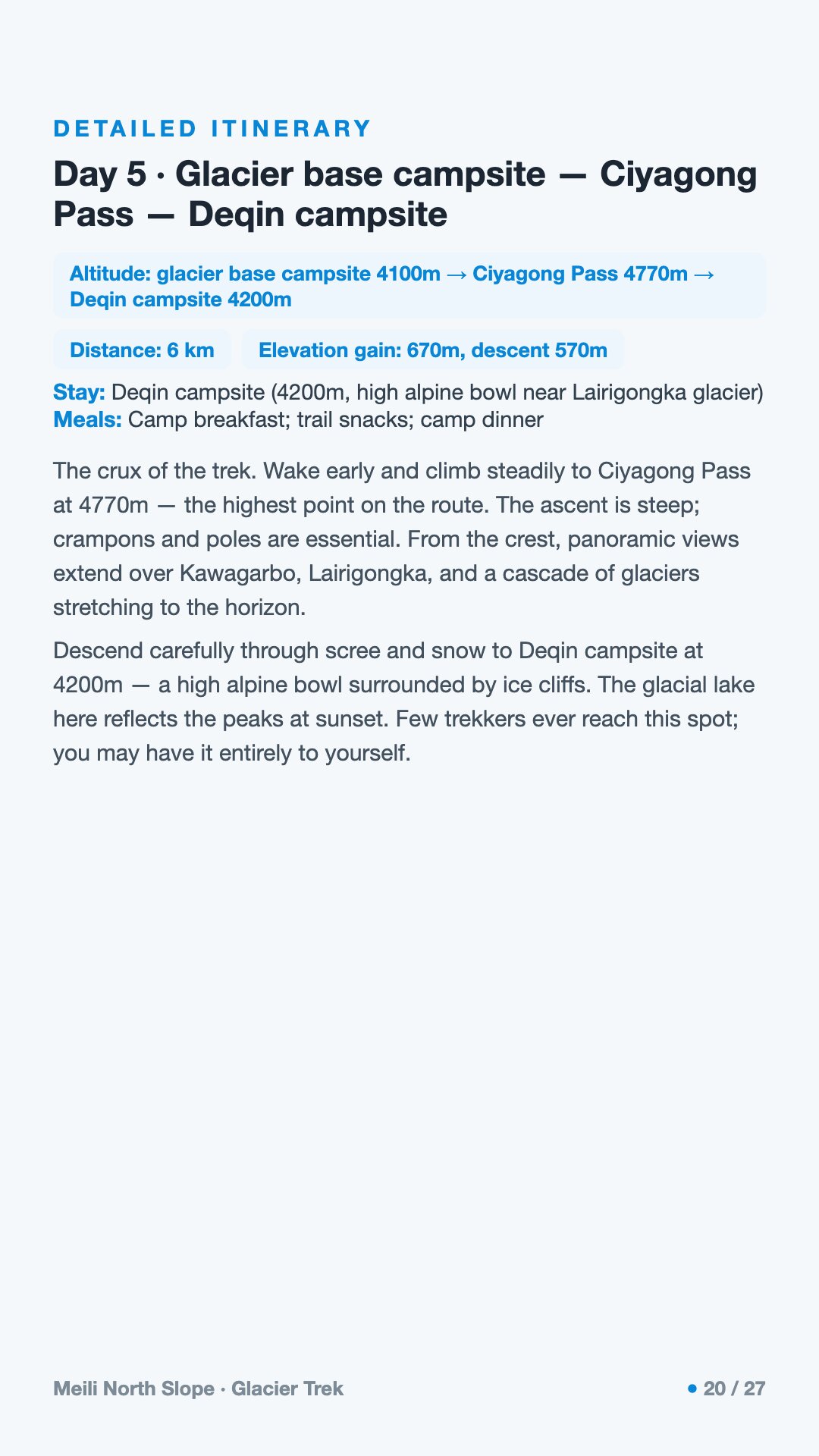
A high crossing over the pass, the air thin and the ground bare, before descending toward the Deqin-side camp.
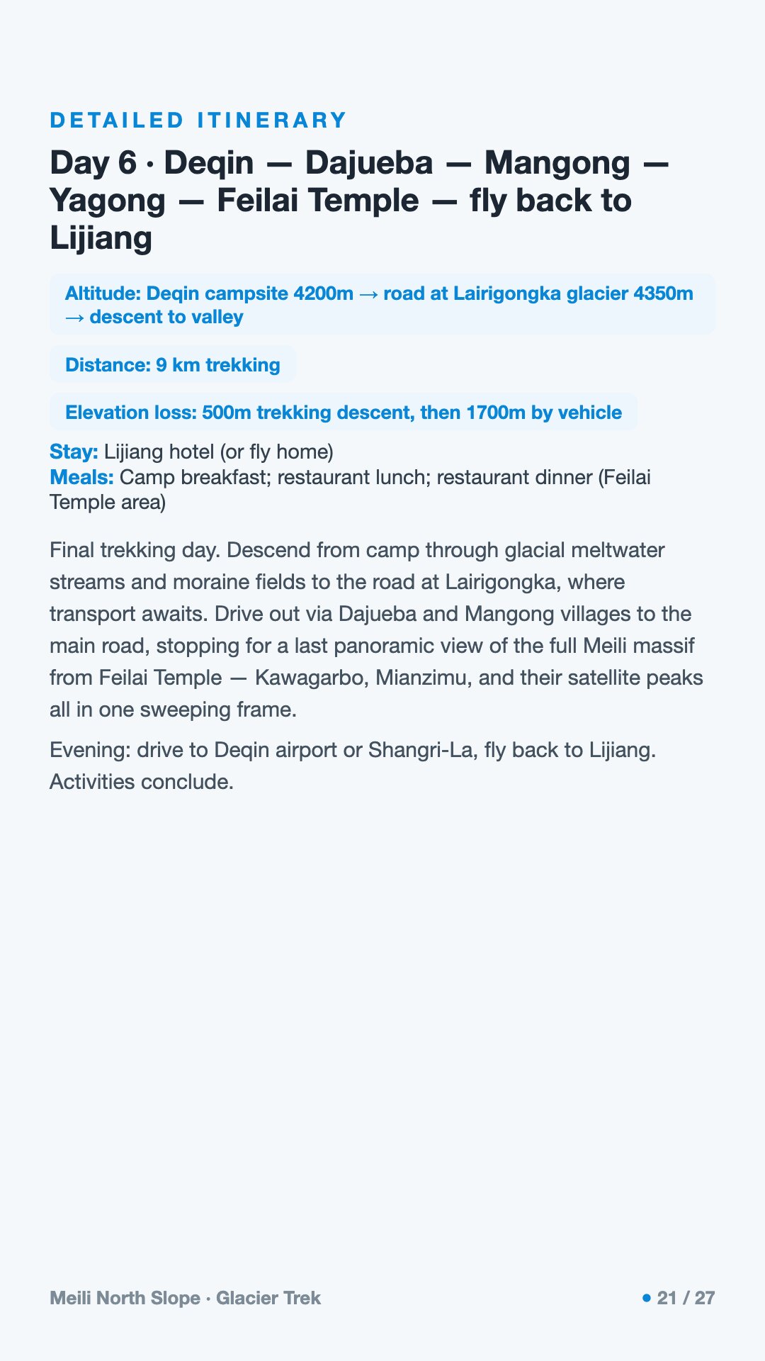
A long day winding back out through high villages and down to Yagong, returning to Feilai Temple where the mountain first revealed itself.
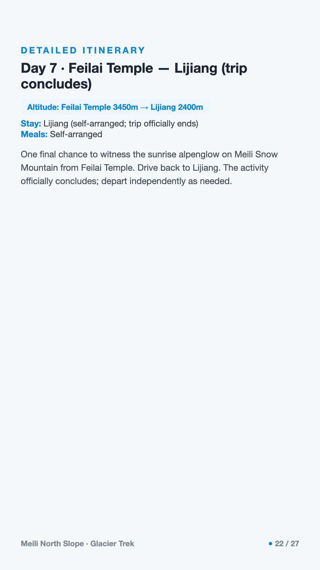
The descent out and the journey back to Lijiang, the mountain — as it so often does — keeping its own counsel behind the cloud.
How fit do I need to be? Very. This is a multi-day expedition at altitude with long ascents, heavy mud, and moraine camping. You should be a confident, well-conditioned hiker comfortable with consecutive hard days and basic glacier-edge terrain — not a casual trail walker.
Will I actually see Kawagarbo? Maybe — and maybe not. The peak is famously shy and spends far more time hidden in cloud than revealed, especially in the summer rainy season. Treat any clear view as a gift rather than an expectation.
What about altitude sickness? It's a real concern above 4,000 metres, and the passes climb higher still. Acclimatize, ascend steadily, hydrate, and tell your guide immediately if you feel unwell. Anyone with relevant medical conditions should consult a doctor beforehand.
What's the deal with the leeches? The summer rains bring them out in the wet forest. They're unpleasant but harmless; local guides carry salt to deal with them, and gaiters plus insect-aware clothing help a great deal.
Why is a guide mandatory? Yagong village has required a local guide for every hiker since 2024. Beyond the rule, the route is remote, high, and unmarked, on working harvest paths with tricky navigation and slow rescue — a guide is a genuine safety necessity, not a formality.
Is this the same as the Yubeng trek? No. Yubeng is the well-known, well-trodden trail. The North Slope ("Pojun") is a remote, non-scenic-area route on local matsutake and caterpillar-fungus paths, with far fewer footprints and far less infrastructure.